Code: 53123
Author: Colton, G.W.
Date published: 1871
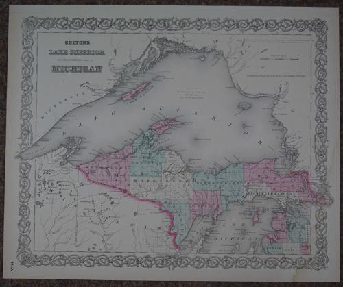
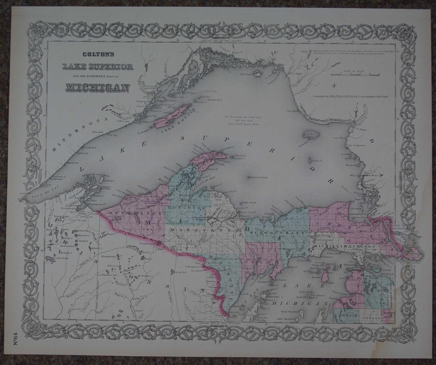
Lithograph with original hand colouring. Overall size: 43.2cms x 35.7cms; 400mm x 330mm. Centrefold as issued. On verso is Colton's map of Michigan. Highly decorative spiral motif border. The hand colouring in Colton's recognizable pink and greens depicts various provinces and shows towns, rivers, province names. Indian settlements marked. Slight browning to sheet edge and faint waterstain bottom right blank margin and into bottom right corner of map else very good. George Woolworth Colton (1827 - 1901) was the son of Joseph Hutchins Colton (July 5, 1800 - July 29, 1893) who was an important American map and atlas publisher operating between 1833 to 1897. JH Colton recognized a gap in the market and published guides for immigrants and updated maps with decorative borders after purchasing the copyright from cartographers such as David H. Burr. His two sons worked in the business with him on the vast output of railroad maps, guides and several atlases. The non payment of the fee from Bolivia for a large quantity of maps of the country was financially disastrous for the company. The maps are characterised by their decorative spiral borders and vibrant contemporary hand colouring.