

Code: 54348
Date: 1915
Topographic map series of Turkey and the Balkan Peninsula. This sheet Kozana in the Balkans Relief variously shown by contours, shading, hachures and spot heights. Depths shown by bathymetric tints
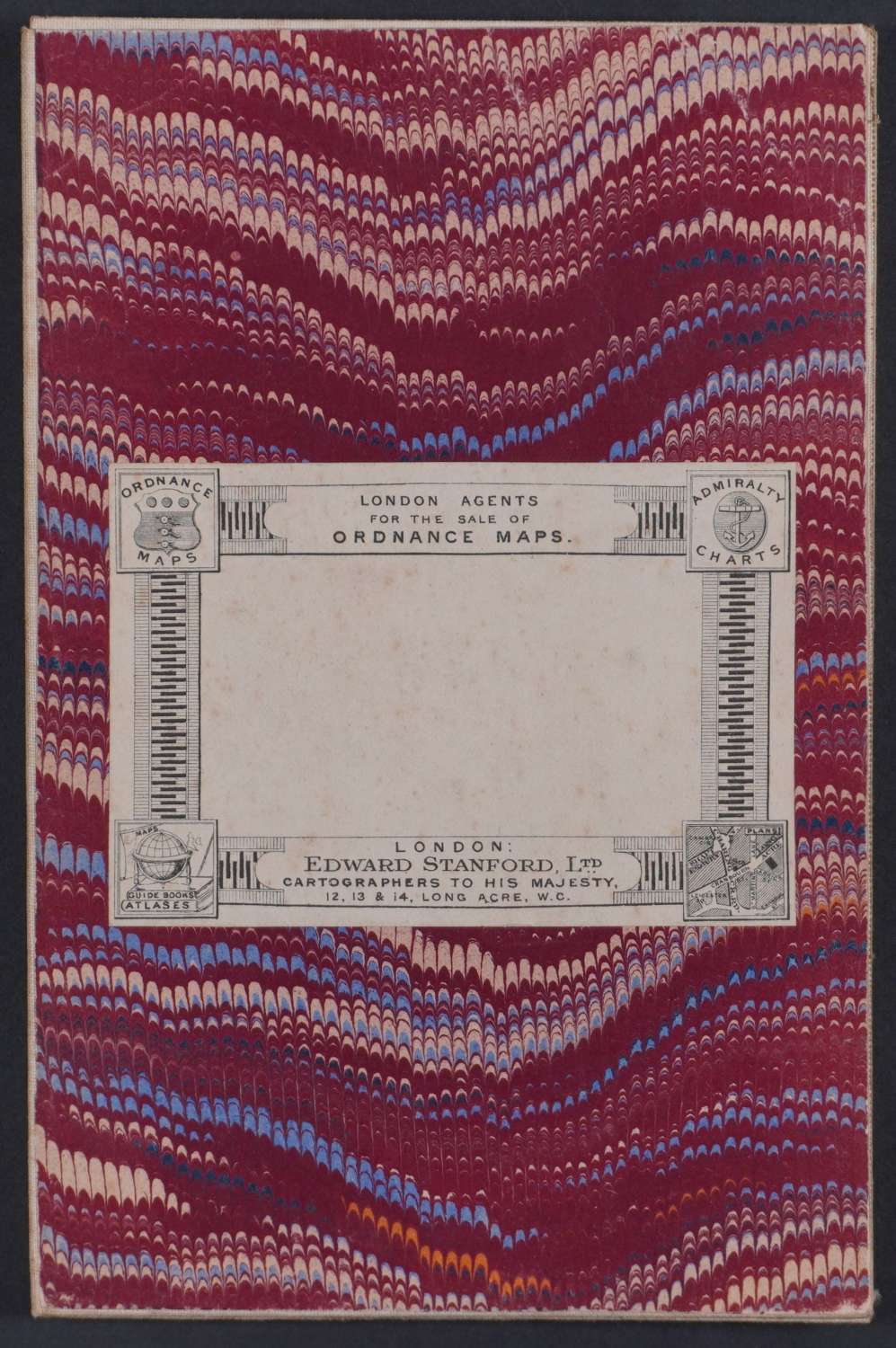
Shows roads, railway, international frontiers and populated places. Issued by Geographical Section General Staff ; some issued by Geographical Section General Staff6 or Ordnance Survey, 1916.Scale 1:250,000 or 1 in. to 3.95 miles. Reference bottom left, key to Vineyards, roads, tracks, International frontier etc Also glossary of common words: stream, meadows, farm, mountain etc and on along the bottom of the map. Overall sheet size: 68cms x 52.1cms. Map dissected into 18 and folding into marbled cover front and back with empty Edward Stanford label on the front. Very good condition.
Uncommon. Only library listed in WorldCat is Bibliothèque nationale de France.
Interesting history of the area: https://www.britannica.com/topic/Balkan-Wars