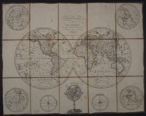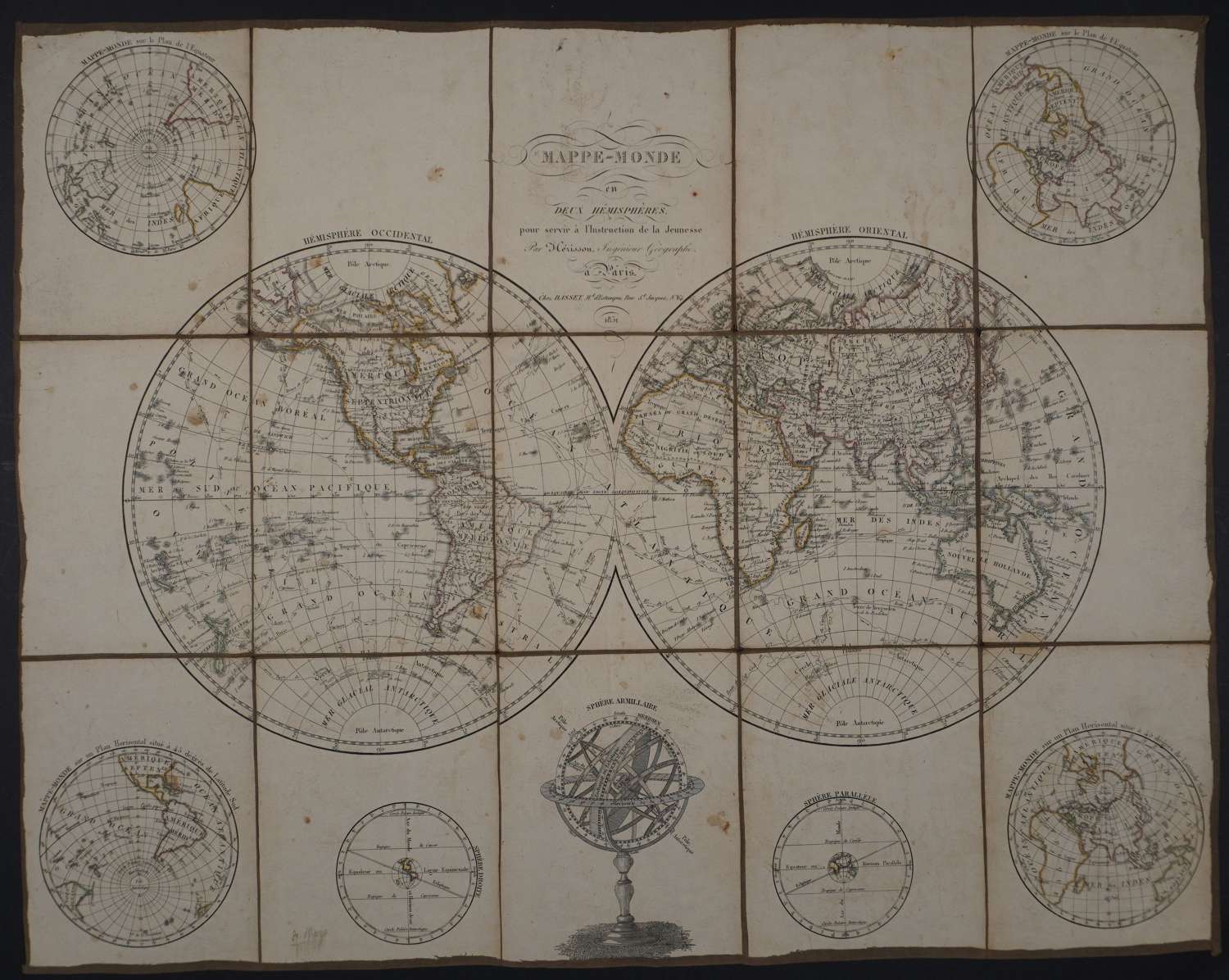

Code: 56116
Date : 1851
Dissected and laid on brown linen (15 squares). A very large double hemisphere world map including the tracks of all the major voyages of discovery completed in the 18th century including Cook of course. Nearly all landmasses are shown correctly with the exception of the northernmost part of North America, where there is a large inland Polar Sea suggesting the potential for a Northwest Passage. This uncommon and attractive chart includes polar projections and diagrams and an armillary sphere. Engraving with original outline hand colouring. The Western Hemisphere is to the right of the Eastern Hemisphere. This uncommon and attractive chart includes polar projections , diagrams and an armillary sphere. Overall sheet size : 67cms x 53.2; image size : 659mms x 516mms . Holes at intersections in the backing linen. Overall sheet toning with some large fox marks (around Sphere Armillaire should be examined by enlarging the image) also around title and left blank but a stunning map nonetheless.