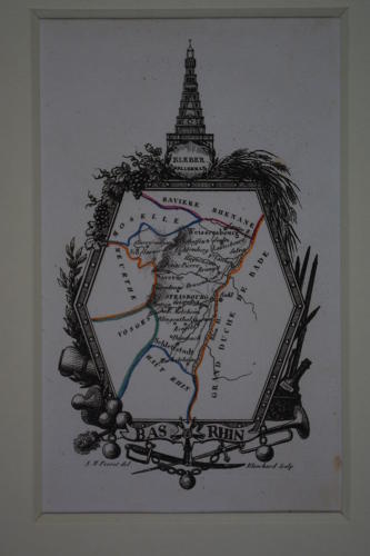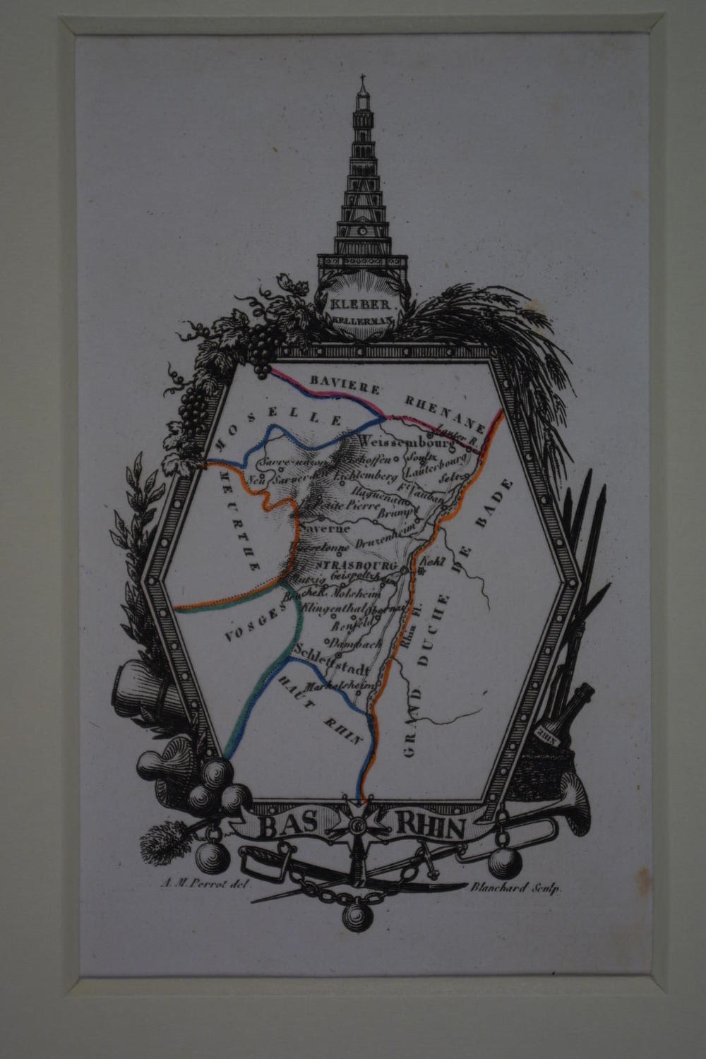
Code: 50183
Author: Aristide Michel Perrot
Date published: 1823
Copper engraving, original outline hand colouring. Engraved by Blanchard. Overall size in hinged off white fully conservation mount and back (so floating freely apart from two pieces of archival tape) 22.3cms x 28.4cms; image size: 76mm x 125mm. Very good condition. Map as if on pole screen in highly decorative surround, here of grapes,trumpet, sword, tower etc. Aristide Michel Perrot. 1753-1879, French Geographer. He worked with engraver Adrien Migneret (1786-1840) and text for his maps and books was by George Bernard Depping. Perrot specialised in miniature maps, elaborately engraved by Madame Migneret amongst others,rivers and towns are shown, but no scale. His miniature maps of Britain, Ireland, France and the world are scarce and collectable.