Code: 54313
Date: Circa 1630
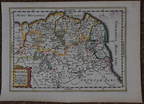
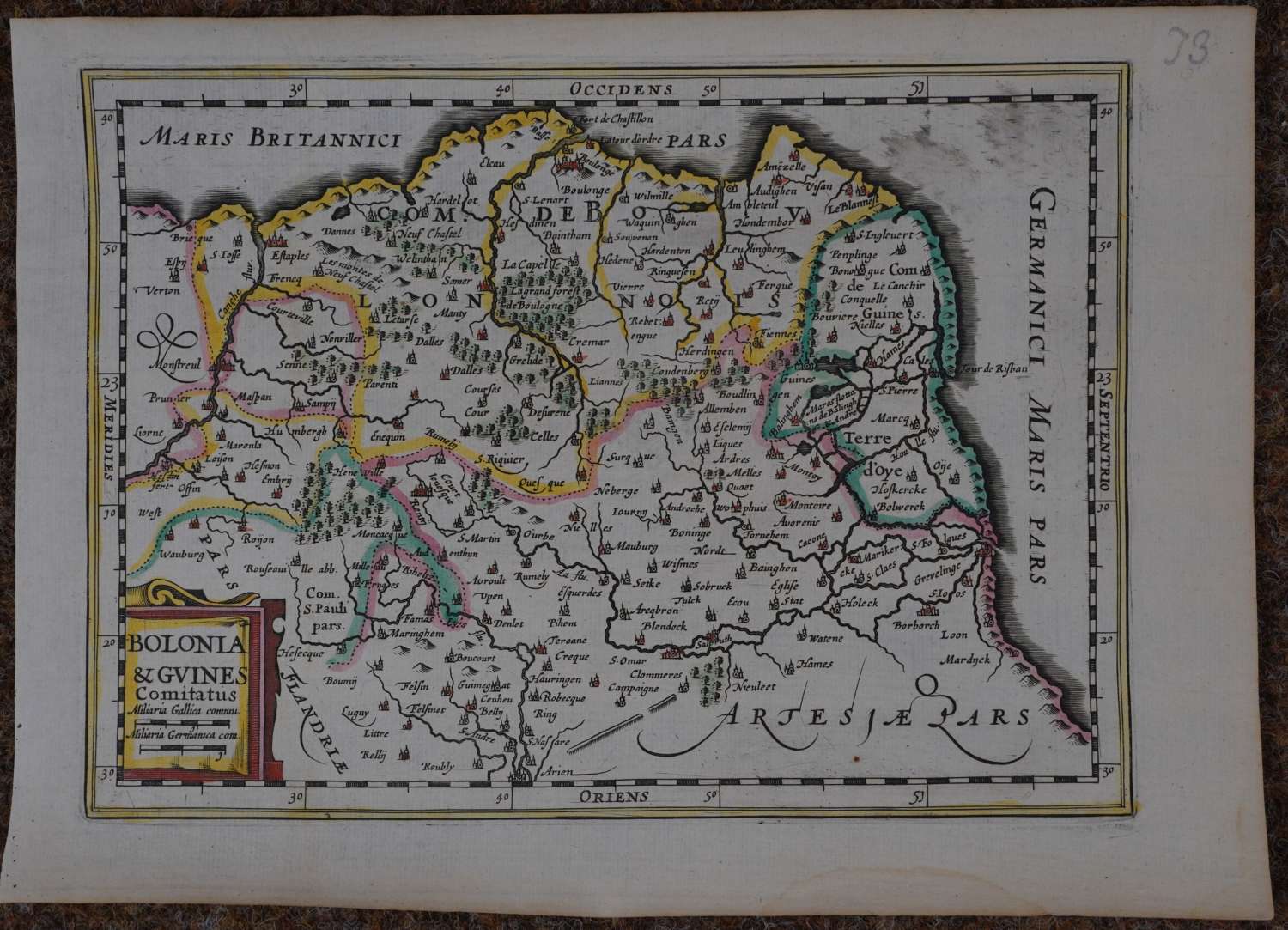
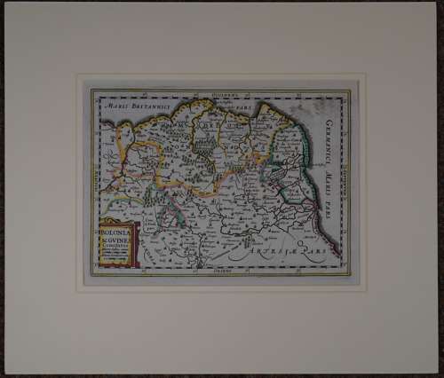
Map of Bolonia, North West France. Calais or ‘Cales’ is seen on the right of the map. Copper engraving ; hand coloured. Overall size in fully conservation grade mount and back with decorative v groove: 42.1cms x 36.1cms. Image size: 251mm x 184mm. Very good condition apart from some black watercolour smudging in sea top right blank and waterstain extreme bottom margin .
This map is from the "Atlas Minor" by Johannes Cloppenburg’s larger version of Mercator's Atlas Minor.
Johannes Cloppenburg (sometimes Cloppenburgh; also H. Jan Evertsz and Johannes Everhardus) was a Dutch cartographer. Based in Amsterdam, he was working between 1610 and 1644. He worked closely with the Hondius/Jansson firm and is credited with the 1630 edition of the Atlas Minor.