
Code: 54312
Date: Circa 1630
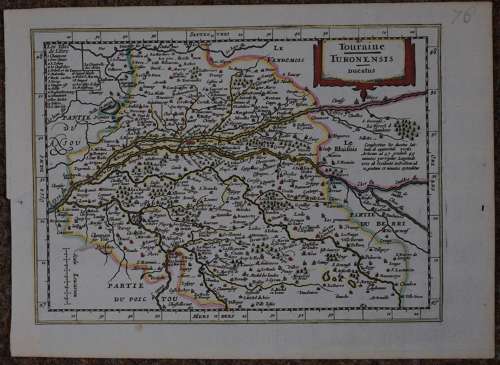
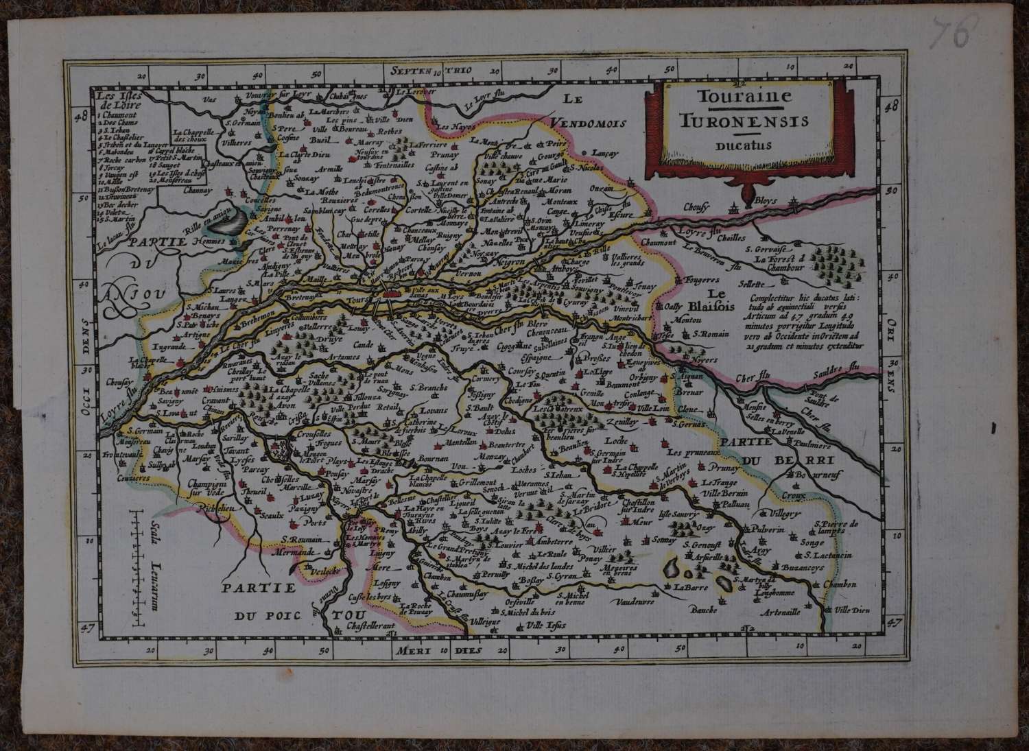
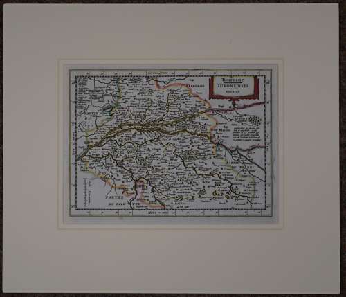
Copper engraving ; hand coloured. Overall size in fully conservation grade mount and back with decorative v groove: 42.1cms x 36.4cms. Image size: 248mm x 182mm. Very good condition apart from one circular mark in bottom margin. Tours, the capital of this province is prominently marked as a large settlement by the size of the buildings coloured red on the banks of the ,’Loyre’. A province known for its viticulture.
This map is from the "Atlas Minor" by Johannes Cloppenburg’s larger version of Mercator's Atlas Minor.
Johannes Cloppenburg (sometimes Cloppenburgh; also H. Jan Evertsz and Johannes Everhardus) was a Dutch cartographer. Based in Amsterdam, he was working between 1610 and 1644. He worked closely with the Hondius/Jansson firm and is credited with the 1630 edition of the Atlas Minor.