Code: 51196
Author: Bonne, Rigobert
Publisher: Atlas Encyclopedique
Date published: 1787-88
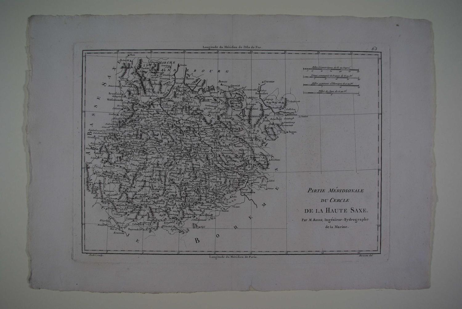
Par M.Bonne, Ingenieur-Hydrographe de la Marine. Copper engraving uncoloured as issued. Overall sheet size 46.3 cms.x 31.8cms. Image size : 343mm.x 243mm including imprint ; 4 scales of distance. Centrefold as issued. Archival repair to chip at bottom margin else very good condition. As Royal Hydrographer, Bonne's main concern was the production of marine charts but he was also involved in other works. He supplied maps for an atlas by Guillaume Raynal and for an Historical Atlas and Encyclopedia which was published in association woth Nicholas Desmaret.