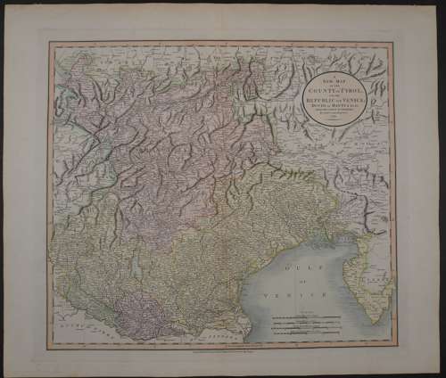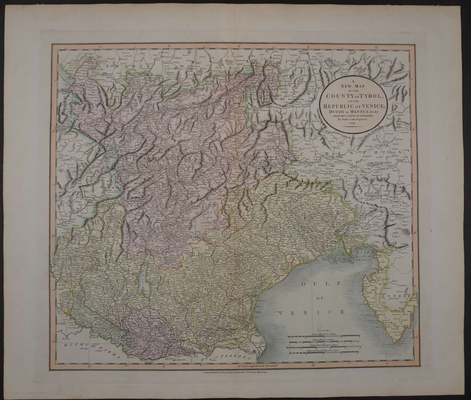
Code: 56147
Date: 1799
Detailed regional map of the area north of the Gulf of Venice, hand coloured by provinces in full contemporary wash hand colouring. Copper engraving. Overall sheet size: 64.3cms x 55cms ; image size: 517mm x 460mm. It shows roads, rivers, lakes, mountains, islands, towns, etc. Tape from a past framing at top of map on verso (see photo 2). The area covered by the map is from Bergamo and Lake Constance in the extreme upper left eastward past Tyrol, Venice and Mantua, to Istria and the Gulf of Trieste.
John Cary is regarded as one of the finest English cartographers of his time. His fine craftsmanship and ability as an engraver enabled him to produce not only fine English county maps but also world atlases, road maps, town and canal plans sea charts and terrestrial and celestial globes