Code: 54236
Date: 1646
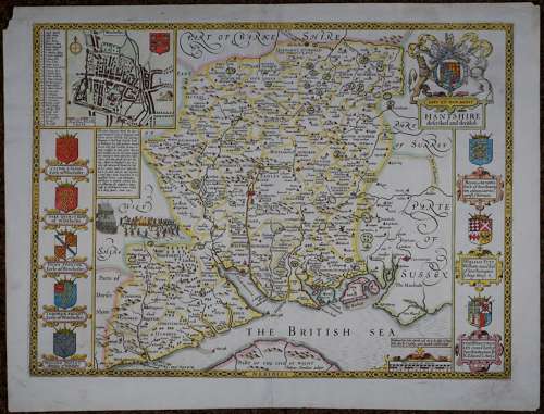
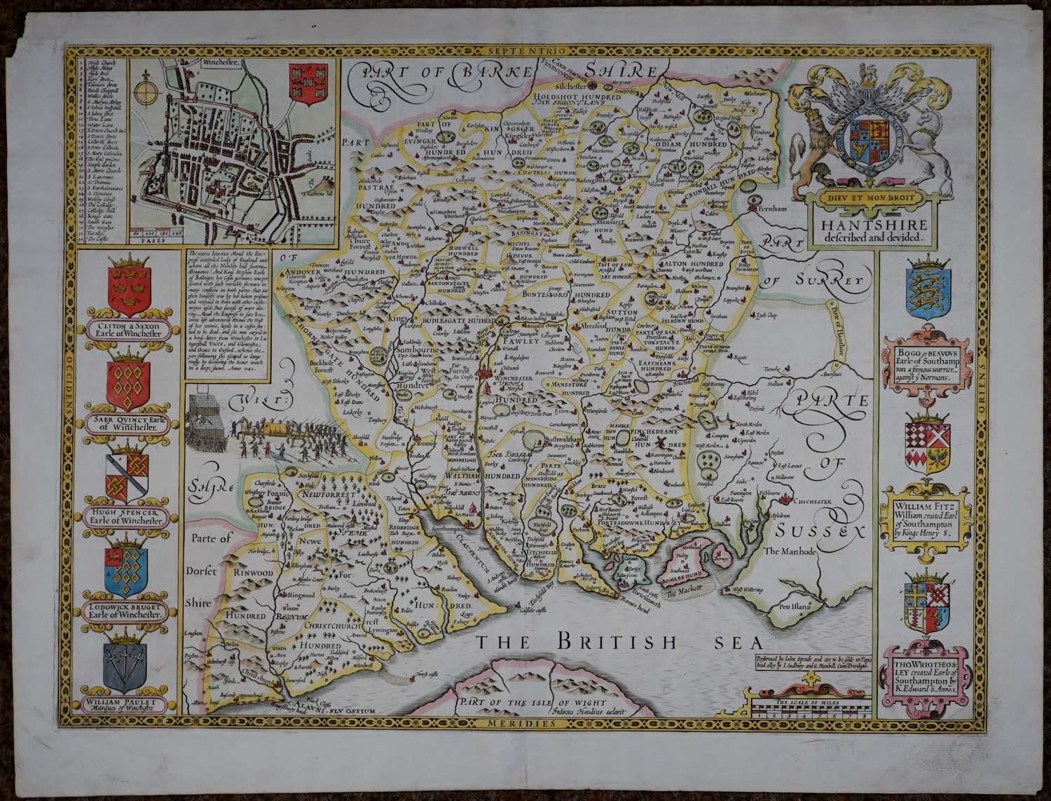
Engraved by Jodocus Hondius. English text on back of map. Copper engraving with later hand colouring. Overall size : 56.4cms x 43cms. Image size : 507mm x 430mm. Inset plan of Winchester. Eight armorials in left and right margin; highly decorative title cartouche showing the royal coat of arms; inset battle scene and historical description of the wars between Maud the Empresse entitled Lady of England and King Stephen. 1.2cms archival repair bottom of centrefold on verso ; left top corner tip missing; some marks in margins on verso
Until his late thirties, John Speed was a tailor by trade but his passion for history and map-making led him to gain a patron in Sir Fulke Greville, the poet and statesman, who found him a post in the customs and helped subsidize his map-making, giving him “full liberty to express the inclination of my mind”. He became acquainted with the publisher William Camden, whose descriptive text was used by Speed for most of the maps in his atlas “The Theatre of Empire of Great Britain” published most probably in 1612 although it bears the date 1611 on the main title page. The maps were engraved in Amsterdam by Jodocus Hondius, one of the foremost engravers of his time. Speed’s maps are unique historical documents of their time and the town plans featured on the maps are in most cases the first information we have of their early apppearance. Their artistry has guaranteed the collectability of these maps in the centuries that have followed.