Code: 53654
Date:1676
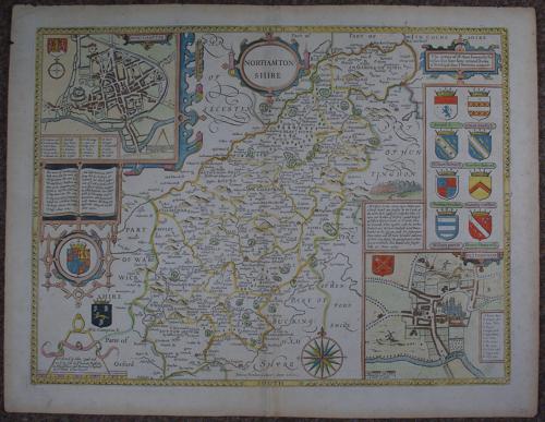
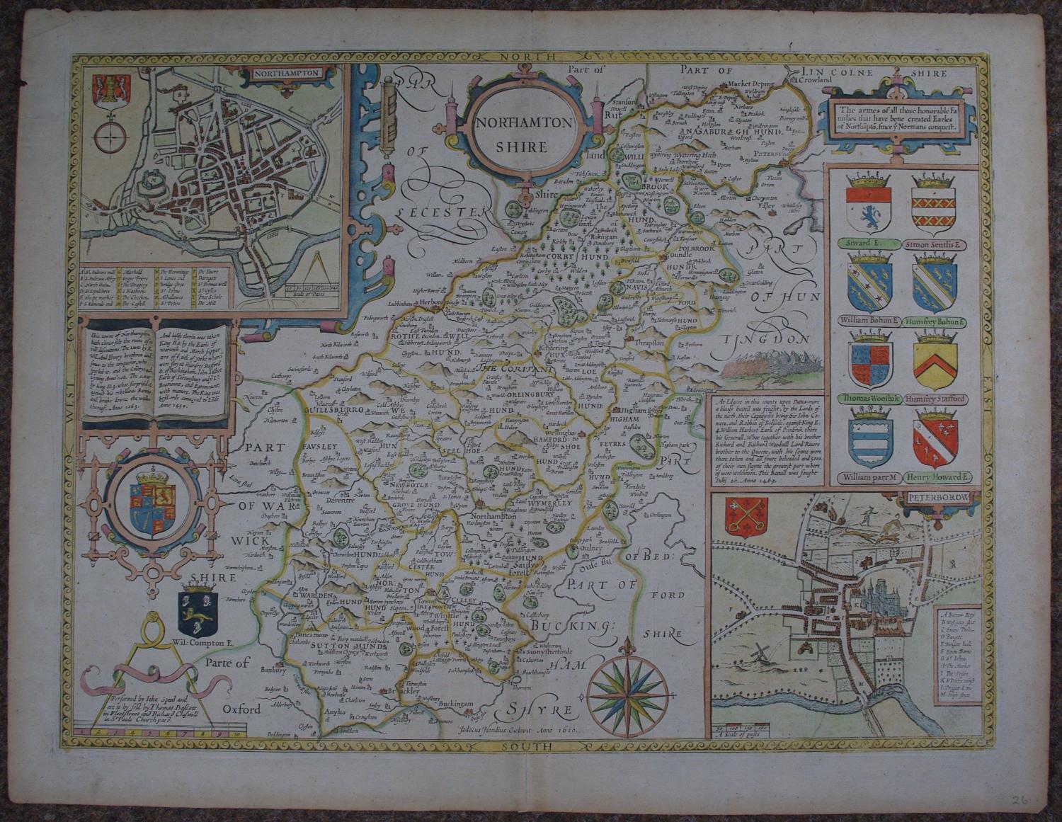
Copper engraving, later hand colouring. Overall size : 56.8cms.x 44ms.. Image size: 511mm x 383mm. Decorative cartouche containing county name. Plan of Northampton top left and Peterborow bottom right (with, unusually a hunting scene at the top of the plan) surmounted by six coats of arms which , as the box above explains are armes of those honorable Families that have bene created Earles of Northapto since ye Norman conquest. Battle scene and historical description above town plan of Peterborow; scale of distance surmounted by dividers. The English text on the back states: notwithstanding the simple and gentle sheep, of all creatures the most harmless, are now become so ravenous, that they begin to devour men, waste fields, and depopulate houses, if not whole townships, as one merrily hath written. 7.3 old strip of strenthening at bottom of centrefold. Toning to margins else very good condition.
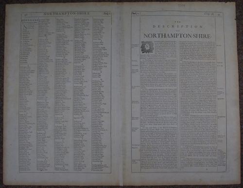
Until his late thirties, John Speed was a tailor by trade but his passion for history and map-making led him to gain a patron in Sir Fulke Greville, the poet and statesman, who found him a post in the customs and helped subsidize his map-making, giving him “full liberty to express the inclination of my mind”. He became aquainted with the publisher William Camden, whose descriptive text was used by Speed for most of the maps in his atlas “The Theatre of Empire of Great Britain” published most probably in 1612 although it bears the date 1611 on the main title page. The maps were engraved in Amsterdam by Jodocus Hondius, one of the foremost engravers of his time. Speed’s maps are unique historical documents of their time and the town plans featured on the maps are in most cases the first information we have of their early apppearance. Their artistry has guaranteed the collectability of these maps in the centuries that have followed.