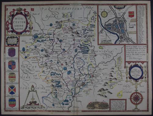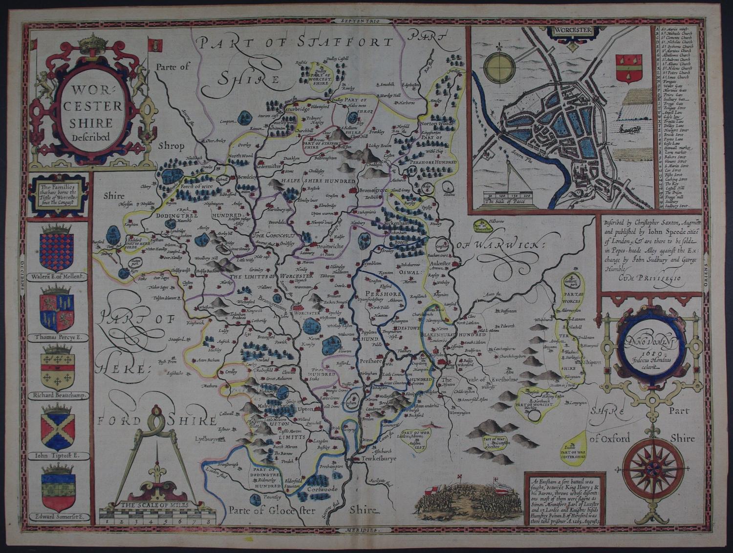
Code: 53671
Date 1614
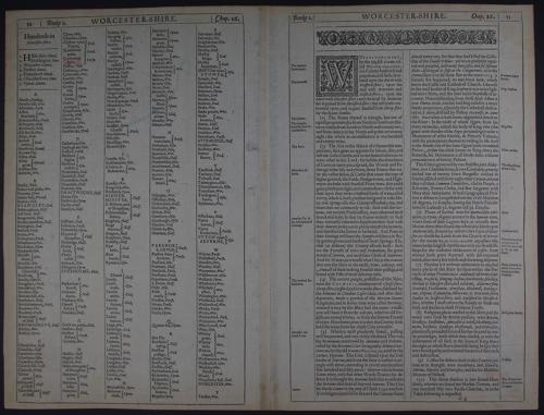
Second edition printed by Thomas Snodham published by John Sudbury and George Humble. Copper engraving ; later outline hand colouring. Overall size : 52.9cms x 40.2cms . Image size : 506mm.x 379mm. English text to verso. Plan of city of Worcester. Centre fold as issued. Browning at bottom of centrefold else very good condition.
Until his late thirties, John Speed was a tailor by trade but his passion for history and map-making led him to gain a patron in Sir Fulke Greville, the poet and statesman, who found him a post in the customs and helped subsidize his map-making, giving him “full liberty to express the inclination of my mind”. He became acquainted with the publisher William Camden, whose descriptive text was used by Speed for most of the maps in his atlas “The Theatre of Empire of Great Britain” published most probably in 1612 although it bears the date 1611 on the main title page. The maps were engraved in Amsterdam by Jodocus Hondius, one of the foremost engravers of his time. Speed’s maps are unique historical documents and the town plans featured on the maps are in most cases the first information we have of their early appearance. Their artistry has guaranteed the collectability of these maps in the centuries that have followed.