

Code: 51992
Author: Coltman, Nathanial
Publisher: Laurie & Whittle no 53 Fleet Street
Date published: 1802
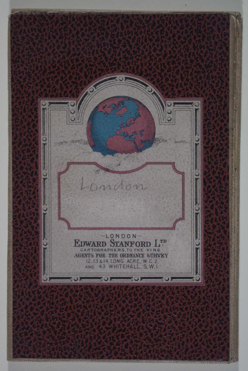
Unrecorded 1st edition. WorldCat holds examples printed in 1807; Howgego No 334 is dated 1831. Long title: A new Survey of the Environs of London, ext ending twenty miles North & South from the Parallel of St. Paul's, and twenty-six East & West from the Meridian of the same place. Plann'd on a scale of two miles to an inch, by N. Coltman, 1802. Folding map: 69.4cms x 56.7cms. Folding map dissected into twenty squares and mounted on linen. Map extends from Guildford, Dorking, Tunbridge in the south, Rochester in the East, Hertford in the North and Windsor in the West. Copper engraved Georgian plan with original outline hand colouring. Note bottom right margin states that 'the Extent of the Two Penny Post Delivery is Coloured Red'. Edward Stanford Ltd label affixed bottom margin and on front label when map folded. Slight browning and marking to borders eand one brown mark below Dartford else very good condition. Clearly shows how small London was in Georgian times.