Code: 52939
Author: Mogg, Edward
Date published: 1823
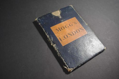
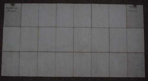
Folding map. Long title: An Entire New Plan of the Cities of London & Westminster; with the Borough of Southwark: Comprehending the New Buildings and other Alterations. Dissected into 24 squares and laid on linen this is a practical, folding map of London and folds into its original slipcase (a little worn at the edges and corners and some slight abrasions to the surface of the front and back blue/black covers) with its original orange and black label on top cover. London is shown in detail extending from Pentonville in the north to Lambeth in the south and from Paddington in the west to Mile End in the east. Vth Edition printed top right above the neatline but date in imprint is Jan 1st 1823 so not in Howgego thus. Overall unfolded size: 90.4cms x 46.8cms; image size: 863mm x 450mm. One mark bottom border - barely worth mentioning- else very good condition. Early C19th hand has written (twice) on both sides of the linen 'Outside Outside' (does not show through to map) and there is darkening at the linen which shows in the finger hole of the slipcase else very good condition indeed. Howgego, James L., `Printed Maps of London circa 1553-1850. 227 (18)