

Code: 58477
Date: 1st edition 1646
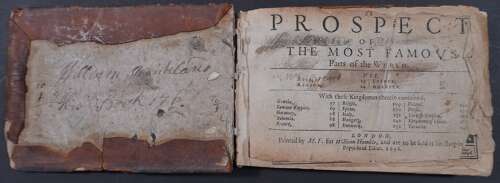
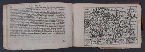
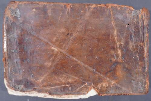
1st edition. Miniature John Speed atlas of the world, first issued by William Humble, son of George Humble, in 1646. The elder Humble was the original publisher of the folio edition of the Prospect of the Most Famous Parts of the World, the large John Speed world atlas which was first issued in 1627. This miniature atlas utilises the intellectual property that the Humble family owned in the folio atlas and made it accessible to the less wealthy in a smaller, less expensive format. Typographic titlepage and 20 maps with the text taken from Speed’s folio Prospect of 1627. Oblong octavo 153mm x 104mm in calf decorated by fleur de lys with creasing and chipping to the boards - see photographs.
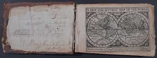
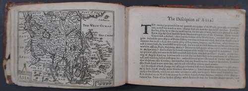
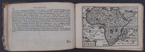
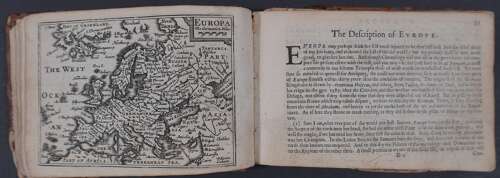
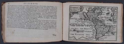
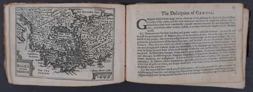
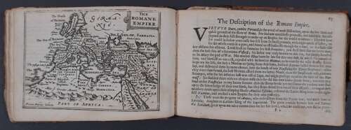
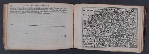
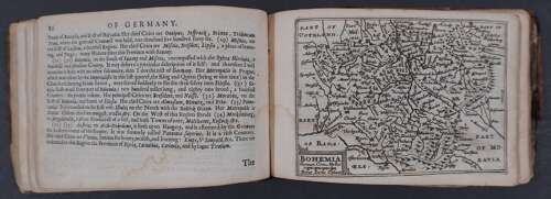
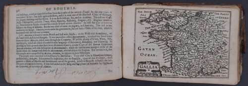
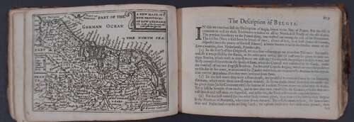
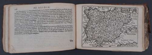
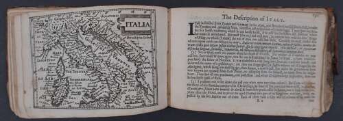
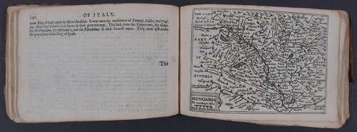
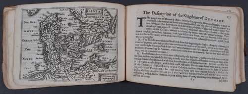
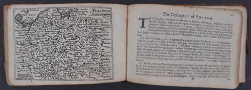
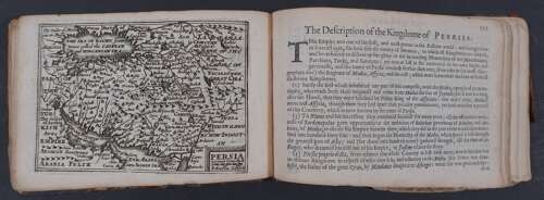
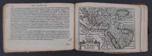
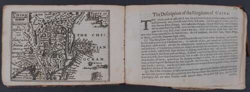
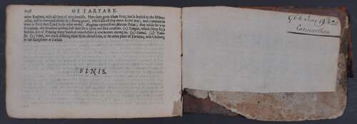
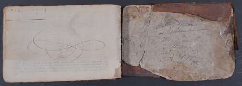
Ownership inscription on front board of William Shankland and again on verso of title page (which is loose); map of the World is 3/4 loose and nicked and lacking bottom right tip. It depicts a huge southern landmass, labeled "Unknowne Land" in the eastern hemisphere and "Magallanica" in the western hemisphere. The northwest coast of North America shows a conjectural coastline that extends to the Strait of Anian. It shows a peninsular California unlike the island shown on the map of America ; Asia is in good condition although the margin diminishes to a thread at bottom right, pages 13-22 describe the continent; Africa, very good condition pp 24-33 describe the continent; Europa is in very good condition with pp 35-44 being the descripton of Europe; America is in very good condition and shows California as an ISLAND pp 46-54 describe America; Ellas/ Greece : very good condition with slight browning in top margin in one area only with pp 57-65 describing the country; the Romane Empire is in very good condition with pp 67-76; Germania is in very good condition with pp78-86 describing the country; Bohemia , good condition with faint waterstain in the margin left and pp 88--96 describing the country, p 96 has two words in the bottom blank in a contemporary hand, possibly an ownership name; Gallia (France) is in very good condition with pp 98-107 describing the country ; A New Map of the XVII Provinces of Low Germanie , very good condition with pp 109-118 describing ‘Belgia’; Hispania is in very good condition with pp 120-129 describing Spain; Italia, very good condition, one faint brown mark at neatline and one at margin edge pp 131 (foxspot and chip to lower margin) - 140 (p 137has brown stain) describing the county; Hungaria which is in very good condition pp142 - 149 describing the county; Dania (Denmark) in very good condition pp 151-159 describing the country; Polonia (Poland) very good condition, pp 161-169 (show through from Persia visible on this page); Persia , very good condition pp171-179 (one ink splash at bottom of 179); The Turkish Empire , very good condition with pp 180-185 describing the country ; China, very good condition with pp 189-196 describing the country; 20th and final map is Tartaria in very good condition (Korea is depicted as an island and the fabled Strait of Anian as a North West Passage between Asia and America is clearly marked) with pp 198-206 describing the country. Final free endpaper has ‘1764 June 19th & 20th Carmarthen’ written in contemporary hand top right then the bottom quarter of the endpaper is missing. Front free endpaper missing. Inner back board has contemporary, faint writing. The atlas is attached to the top board but detached from the spine and bottom board. It was previously bound with an incomplete 1627 atlas of England and Wales, now sold so this fine and beautiful atlas could do with re-binding. The maps are dark, velvety impressions. They were engraved by Pieter van den Keere at the age of nearly 75 and all bear his latinised signature (Petrus Kaerius) . It is thought that the World map may be his last engraving. It was not until Bassett and Chiswell re-issued the miniature Prospect and Theatre in 1675-6, that a connection was made on the title-page to Speed: ‘An Epitome of Mr. John Speed’s Theatre of the Empire of Great Britain. and of His Prospect of the Most Famous Parts of the World’. The printer was Miles Fletcher (M.F. on the title page) Maps in the Atlases of the British Library by Rodney Shirley vol 1 p 618.
Pieter Van Den Keere was one of a number of refugees who fled from religious persecution in the Low Countries between the years of 1570 and 1590. He moved to London in 1584 with his sister who married Jodocus Hondius, also a refugee there. Through Hondius he undoubtedly learned his skills as an engraver and cartographer. In the course of a long working life he engraved a large number of individual maps for prominent cartographers of the day and a series of county maps of the British Isles which became known as ‘Miniature Speeds’, a misnomer which needs explanation. In about 1599 he engraved the plates for 44 maps of the English and Welsh counties, the regions of Scotland and the Irish provinces. The English maps were based on Saxton, the Scottish on Ortelius and the Irish on the famous map by Boazio. Thse maps were not published at once in book form but there is evidence which suggests a date of publication (in Amsterdam) between 1605 and 1610 although at least one authority believes they existed only in proof form until 1617 when Blaeu issued them with a Latin edition of Camden’s Britannia. At this stage two maps were added, one of the British Isles and the other of Yorkshire, the latter derived from Saxton. Some time later the plates were aquired by Speed’s publisher, George Humble, who in 1627, the year in which he published an edition of Speed’s Atlas, also issued the Keere maps as a pocket edition. For these he used the descriptive texts of the larger Speed maps and thereafter they became known as ‘Miniature Speeds’. The miniature world maps were first published in 1646.

