Code: 57190
Date: 1794
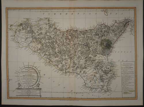
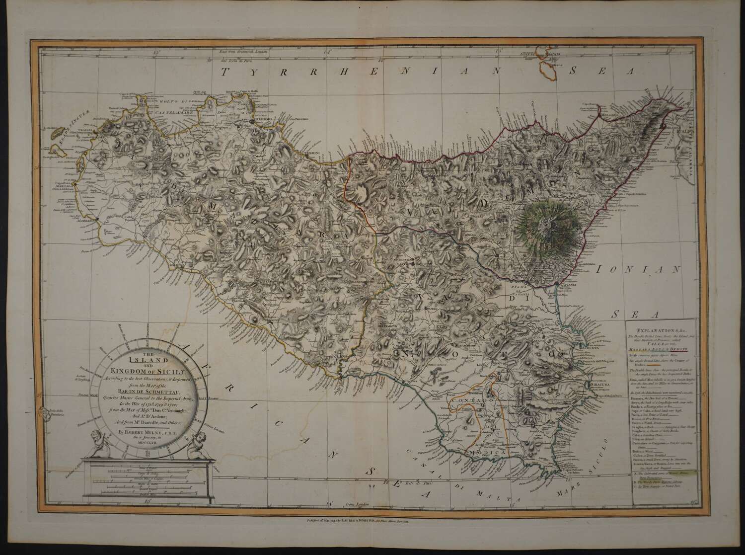
Long title:The Island and Kingdom of Sicily According to the best Observations, & Improvd; from the Map, of the Baron de Schmettau, Quarter Master General to the Imperial Army in the War of 1718, 1719 & 1720 from the Map of Mess Don C Ventimigilio and A D’Aedone and from Mr Danville and Others. Copper engraving with original outline hand colouring. Overall size unmounted 73.5cms x 55.1cms. Image size : 677mm x 482mm.approx. Centrefold as issued; one faint outline of offsetting in left blank else very good condition.
Robert Mylne, a Scottish architect and civil engineer, is better known for his design for Blackfriars Bridge in London than for cartography. Mylne studied architecture under the direction of Giovanni Battista Piranesi in Rome. In the spring of 1757, Mylne accompanied the diplomat Richard Phelps and antiquarian Matthew Nulty on a tour of Sicily where he undertook the preparation of this map to pay for his studies. The map draws together several important cartographical sources including the maps of Austrian General Samuel von Schmettau and French cartographer Jean Baptiste Bourguignon d'Anville. The map shows the three provinces and the county of Modica. The topography is depicted through hachure and specific types of terrain are noted such as steep ridges and dry washes. Details include roads, inns, watch towers, forests, fortified towns, and lava fields. Particular attention is paid to Mount Etna with areas denoted as cultivated, wooded, or naked. The unusual title cartouche is set within a compass rose supported by a pair of cherubs. The map was published by Laurie & Whittle.