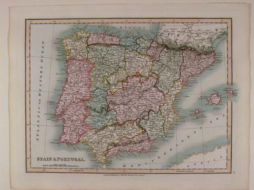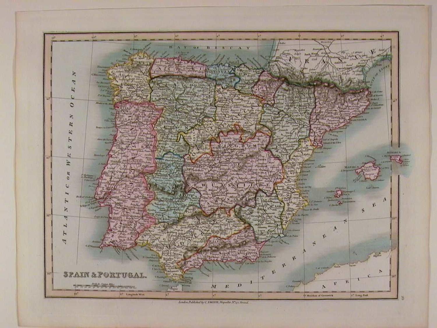
Code: 41946
Author: Smith, Charles
Publisher: Charles Smith & Sons
Date published: 1842
Steel engraving with original hand colouring. Overall size : 41.2cms.x 31.7cms. Map size : 354mm.x 267mm. vg. condition. Charles Smith was a stationer, map and globe-seller at 172, The Strand, London from about 1800. Between 1827 and 1852 the business was carried on by Charles Smith & Son and from 1853, by William Smith. A large number of well engraved maps were published, including An Actual Survey of the Roads from London to Brighthelmstone, 1800 ; a New English Atlas, of which several editions were issued from 1804 to about 1846 ; a New Pocket Companion of the Roads of England and Wales, 1826 and a fine plan of the City of Bristol, 1839. Charles Smith's maps are very distinctive, characterised by their lucid, fine engraving and vibrant colour washes making them both attractive and informative.