Code: 54152
Date: 1855
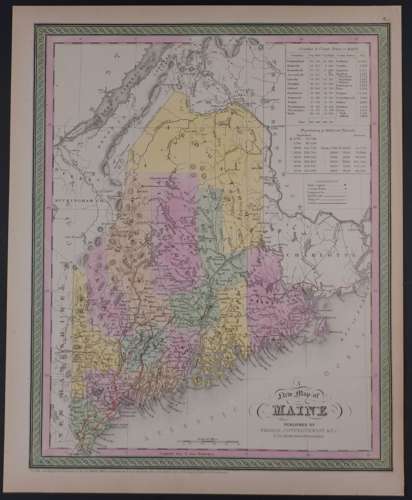
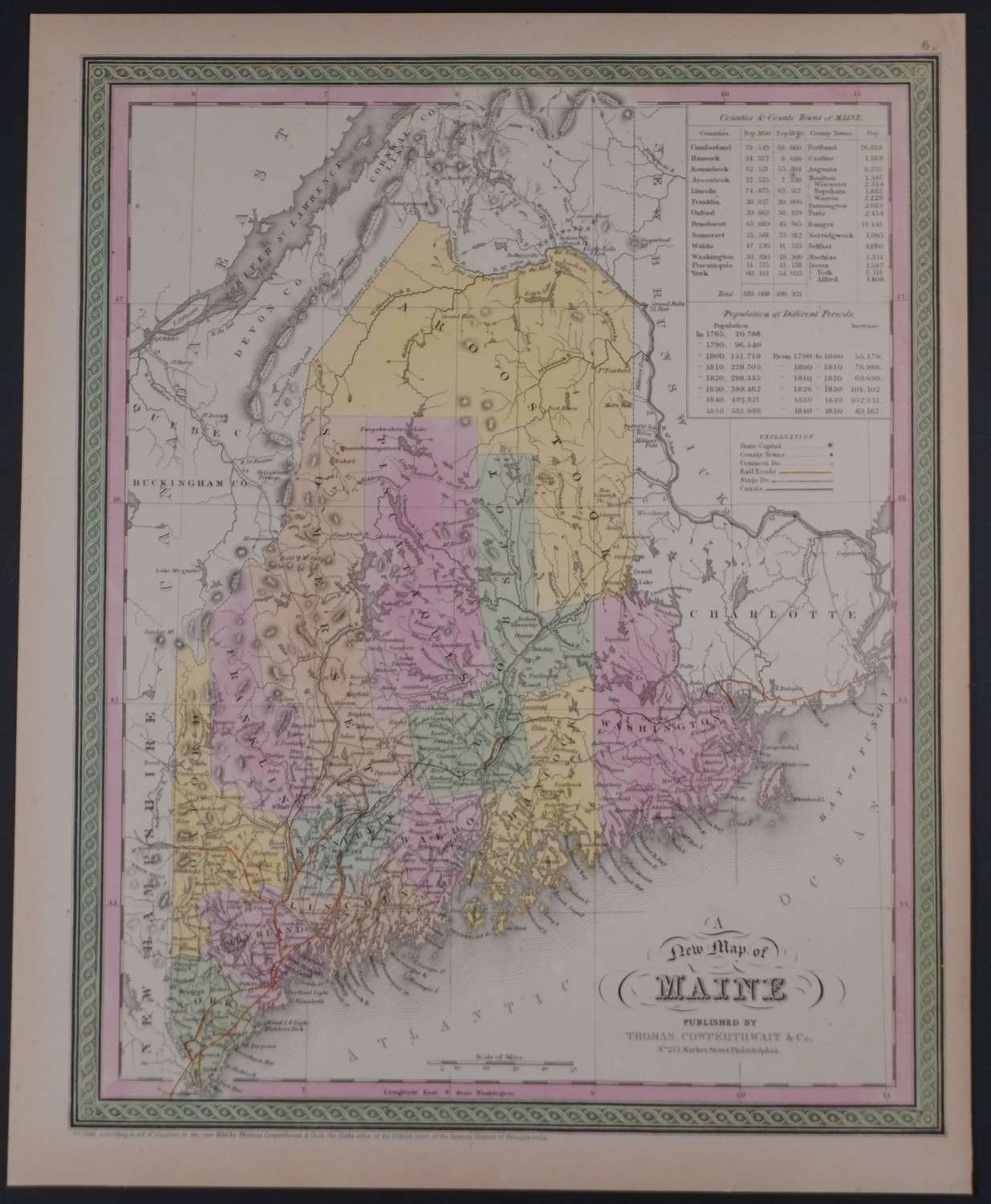
Published 1855 in Pennsylvania, dated 1850 . Lithograph with original full wash hand colouring. Overall sheet size: 33.7cms x 42cms; image size: 307mm x 388mm. Characteristic green decorative border and pastel colouring.
Maine became a state in 1820 but its northern border was the subject of a dispute between the US and Canada. The King of the Netherlands was called on to settle this and drew up his own border. A treaty established this in 1842. The lines of the various borders, 1783, 1842 and that of the King of the Netherlands are clearly marked in the north. The final border of 1842 gives up more land to Canada. Box at top right detailing the populations
Thomas, Cowperthwait & Co. were a publishing company based in Philadelphia. They were part of the burgeoning atlas and map publishing in the early to mid-nineteenth century. They published many famous works, including Tanner’s New Universal Atlas. Their maps are notable for the decorative borders and fine, vivid original hand colouring.