Code: 58812
Date: 1909
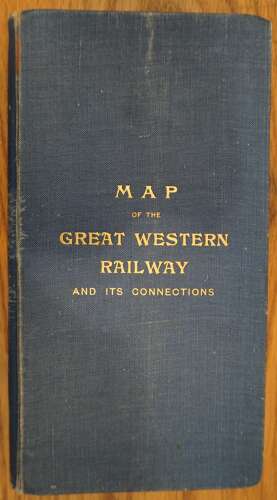
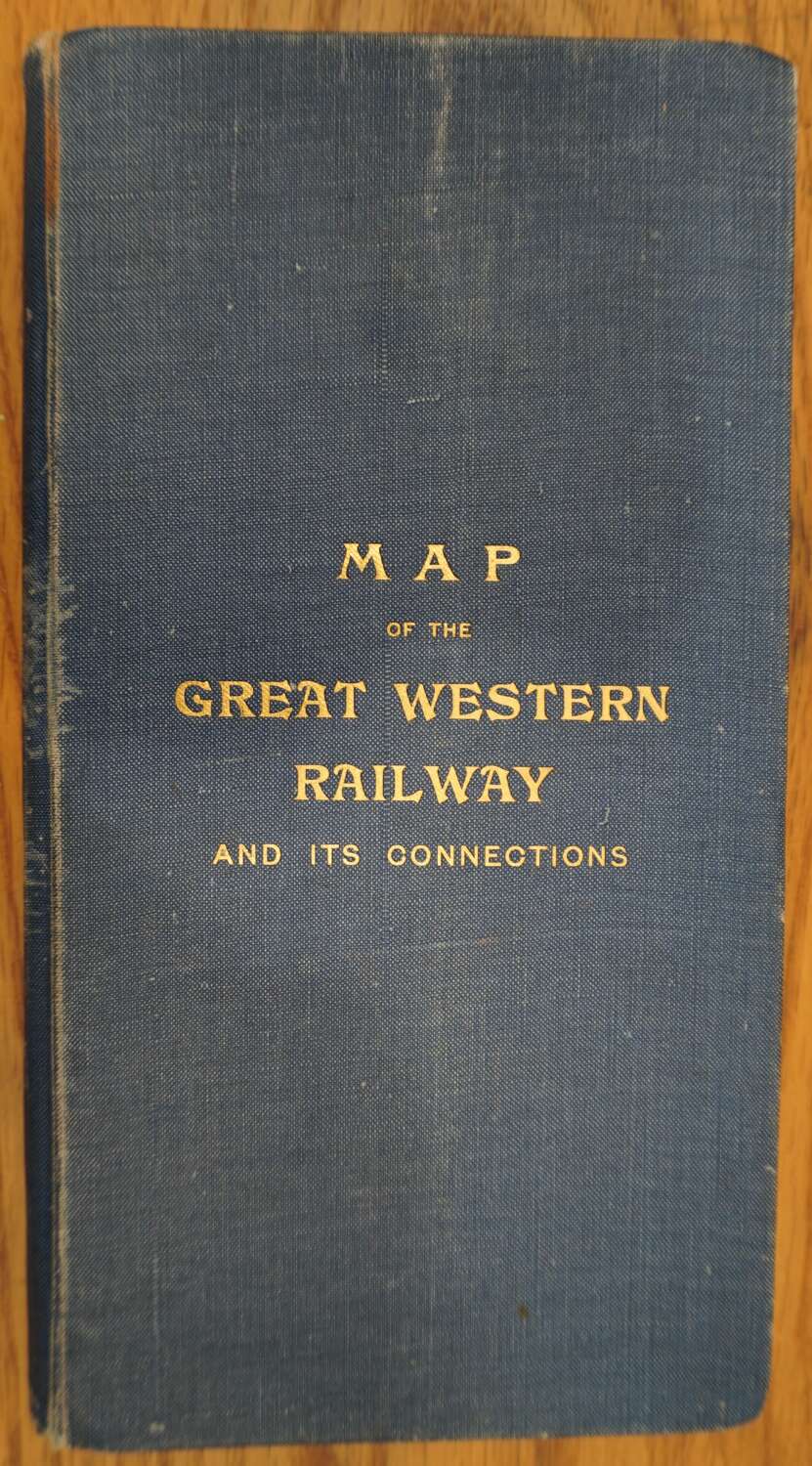
Folding lithographed map, 95.5 x 95.5cm, dissected into 32 panels and laid on linen, folding into blue cloth covers;, slightly bumped at corners with some fading and marking on spine, dated June 1909 at the foot of the advertisement on the pastedown.
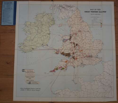
The map illustrates how the Great Western Railway with its lines in Wales and the West of England played a crucial role in transporting coal and other resources such as China clay, tin, copper, arsenic, iron ore to other parts of the country and to ports and thence abroad to Jersey, Ireland, France etc A scroll in the lower left of the map describes the GWR’s system as ‘adequately equipped for the conveyance of merchandise, mineral and live stock traffic’. Odd faint mark but generally crisp and clean.