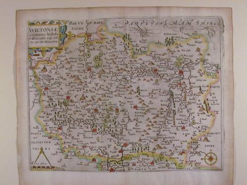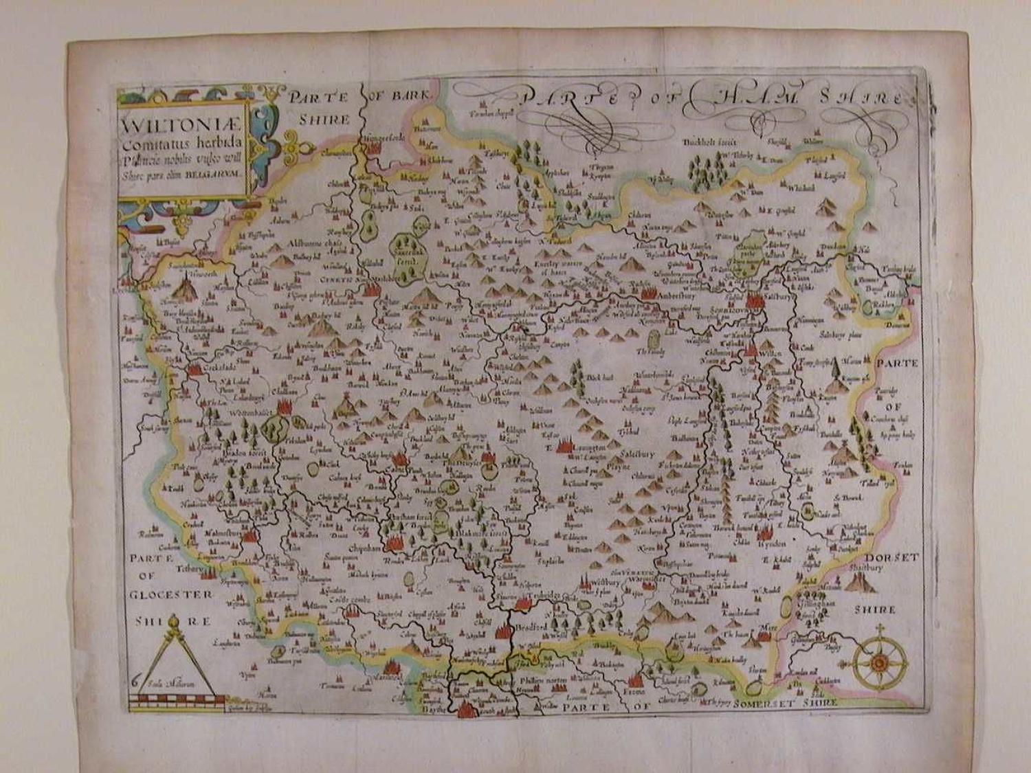
Code: 46813
Author: Saxton, Christopher and Kip, William
Publisher: Camden's Britannia
Date published: 1637
Copper engraving with later hand colouring. Overall size : 39.8cms x 33.8cms. Image size: 350mm x 278mm. Title in decorative cartouche, scale of distance below, surmounted by dividers. Watermarked paper.. Centre fold as published. Little ink smudging from the original plate so a C17th fault, in the top right blank and title cartouche, not offensive, margins browned to edges, one pinprick visible only when held up to the light on centrefold at Nyhaven; two small repairs in margins well away from image; otherwise very good example. This series of maps were the first in which each county was delineated on a separate sheet. They were prepared by William Kip and William Hole and were mainly based on those of Christopher Saxton and Norden. The first issue of these maps was in 1607 with Latin text on the back of the maps and as the paper on which they are printed is rather thin, the lettering sometimes shows through on to the front of the map. In the subsequent two editions of 1610 and 1637 the maps had no text on the back and plate numbers were added to many maps for the 1637 edition. The maps were not issued again. The layout, calligraphy and general appearance of these maps are very similar to their Saxton counterparts. They were the first to carry the new Arms of James 1st with the unicorn replacing the dragon as a supporter.