Code: 53694
Date 1743
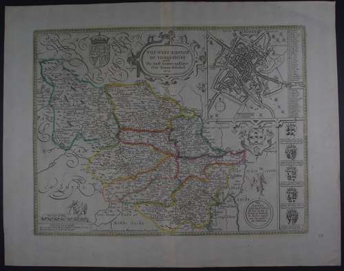
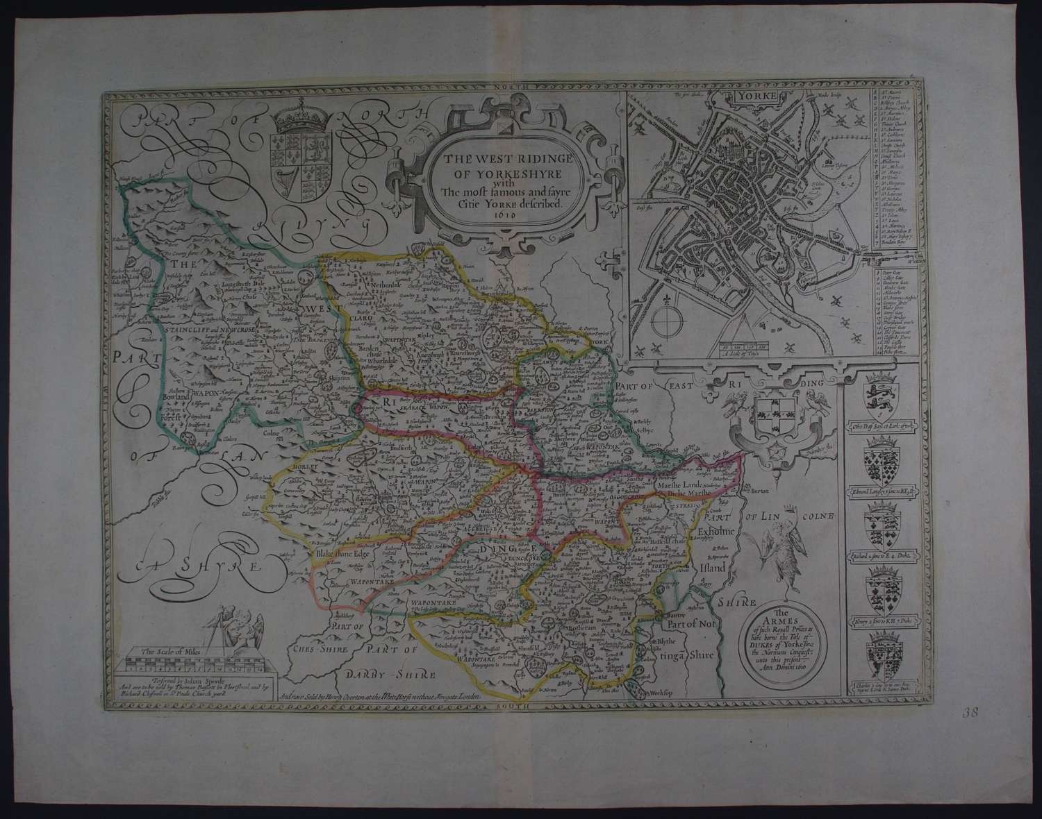
Copper engraving with original outline hand colouring. Overall size : 61.8cms x 48.6cms. Image size : 509mm x 382mm. Large inset plan of York with 24 point key. The heraldic border on the right hand side is particularly interesting since from the reign of Edward IV the dukedom of York was reserved for the second son of the reigning monarch, and the arms depicted include those of the young prince murdered in the Tower, of Prince Henry (later King Henry VIII) and of the current holder when the map was issued, Prince Charles (later Charles I). Scale of distance at bottom left. Ogilby’s roads are added to this map.
Very good condition apart from odd mark to the margins and little greyness in blank areas.
Until his late thirties, John Speed was a tailor by trade but his passion for history and map-making led him to gain a patron in Sir Fulke Greville, the poet and statesman, who found him a post in the customs and helped subsidize his map-making, giving him “full liberty to express the inclination of my mind”. He became aquainted with the publisher William Camden, whose descriptive text was used by Speed for most of the maps in his atlas “The Theatre of Empire of Great Britain” published most probably in 1612 although it bears the date 1611 on the main title page. The maps were engraved in Amsterdam by Jodocus Hondius, one of the foremost engravers of his time. Speed’s maps are unique historical documents of their time and the town plans featured on the maps are in most cases the first information we have of their early appearance. Their artistry has guaranteed the collectability of these maps in the centuries that have followed.