Mostlymaps |
Tel: +44 (0)1497 820539 Email: info@mostlymaps.com Web site: https://www.mostlymaps.com/ |
|
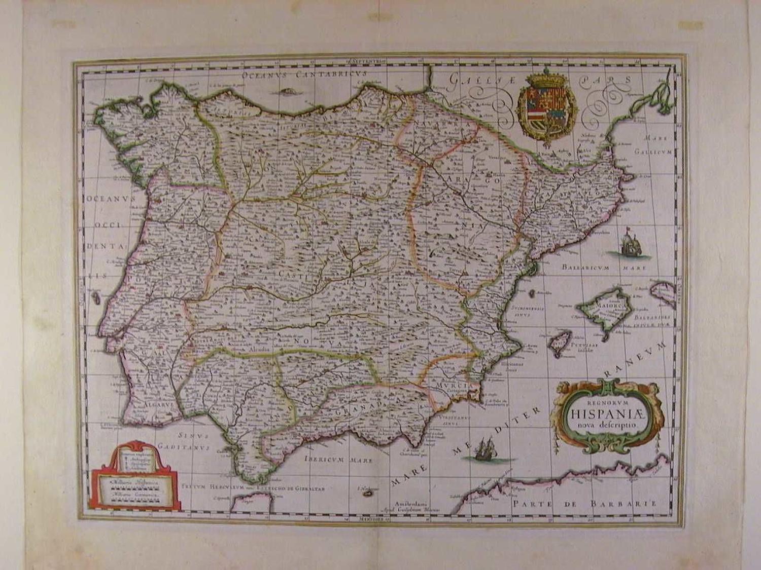
Code: 48521
Author: Willem Blaeu
Date published: 1645circa
Copper engraving with original hand colouring. Overall size: 58.3cms x 47.9cms. Image size: 488mm x 375mm. Latin text on verso. 6.5cm old strengthening on verso of centrefold ;a little ragged loss at extreme bottom left margin edge; slight split 2.4cms at top of centrefold, well away from map; some marks in the very large margins else very good condition. A very attractive map of the whole Iberian peninsular also showing the Balearic islands and the extreme north coast of Africa including Casablanca. See background information for history of the Blaeu family.