Mostlymaps |
Tel: +44 (0)1497 820539 Email: info@mostlymaps.com Web site: https://www.mostlymaps.com/ |
|
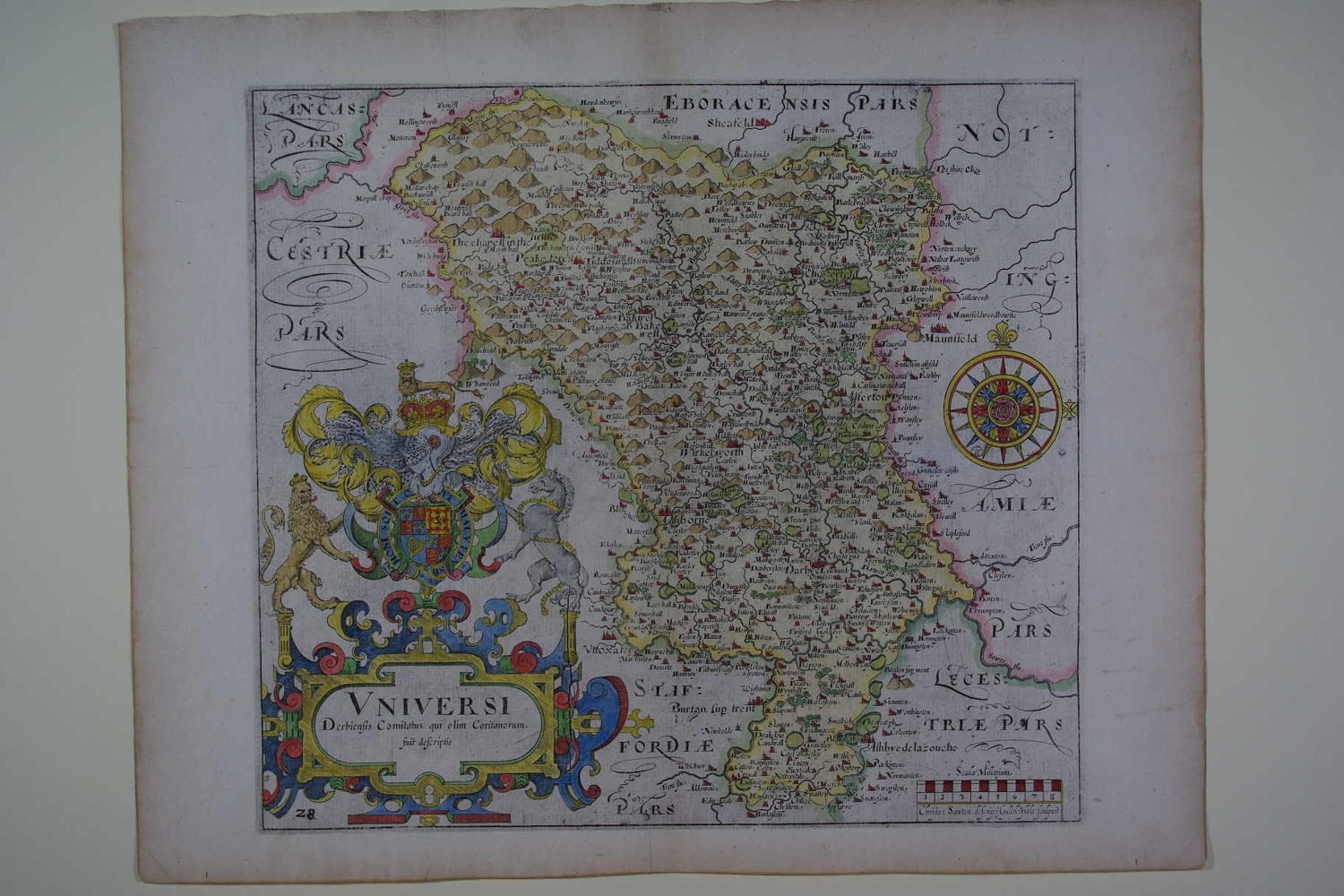
Code: 50441
Author: Saxton, Christopher and Hole, William
Publisher: Camden's Britannia
Date published: 1610
Long title: Univer si Derbiensis Comitatus qui olim Coritanorum. Copper engraving with later hand colouring. Overall size : 40.9cms x 33.3cms. Image size: 312mm x 283mm. Title in highly decorative huge royal cartouche at bottom left, compass rose and scale of distance on right. Centre fold as issued. Blank verso. Watermarked paper; little browning to margins else very good condition apart from a little greyness in blank areas being residual ink from the printing process. These maps are the first county maps where each county is delineated on a separate sheet. They were prepared by William Kip and William Hole for William Camden's famous work,'Britannia' and were based on the maps of Saxton and Norden.