Mostlymaps |
Tel: +44 (0)1497 820539 Email: info@mostlymaps.com Web site: https://www.mostlymaps.com/ |
|
Code: 52752
Author: Blaeu, Johannes
Date published: 1662 circa
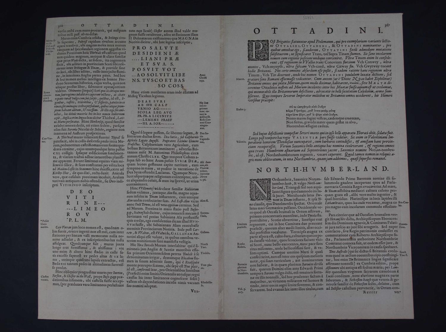
Long title: Comitatus Northumbria vernacule Northumberland. Latin text edition pp 368/367 Copper engraving with original hand colouring. Copper engraving with original hand colouring. Overall sheet size: 52.8cms x 43.9cms; image size: 493mm x 407mm. Shows Northumberland and parts of adjoining English and Scottish counties. Identifies towns, larger villages parish churches, rivers and diagramatic representation of higher hills and mountains.Title right on drape with cherubs, scale bottom left with cherub and surveyor. Includes eleven arms of royalty and local gentry (3 empty). Issued in this state in successive editions of the atlas until the plate was destroyed in 1672. Shows Hadrian's Wall, rivers, woods, parks and settlements. Text on verso describes the county. The sea is decorated with ships. Overall toning; one fox spot in blank above Carlisle and 'The Pictes Wall' bottom left; one abrasion to surface of margin top right - see magnified image- else very good condition indeed. See background: http://maps.nls.uk/pont/bio/blaeu.html
