Mostlymaps |
Tel: +44 (0)1497 820539 Email: info@mostlymaps.com Web site: https://www.mostlymaps.com/ |
|
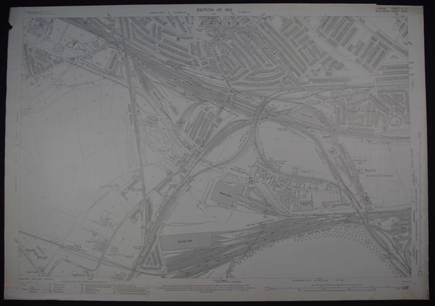
Code: 53264
Author: Ordnance Survey: Revision of 1915
Date published: 1915
Heliozincographed and Published by the Director General at the Ordnance Survey Office, Southampton, 1915. Scale 1/2500 being 25.344 Inches to a Statute Mile or 208.33 Feet to One Inch. Overall sheet size: 104.2 cms x 73.4cms; image size: 1004mm x 710mm. Revised price 6/8 net in purple bottom right. Some splattering bottom right margin, old red pencil writing bottom left margin Very good condition. London and North West Railway Acton Wells Loop, Great Western Railway bottom of map, West London Junction. Loops of railway lines interspersed with houses and on left and bottom, fields and trees.