Mostlymaps |
Tel: +44 (0)1497 820539 Email: info@mostlymaps.com Web site: https://www.mostlymaps.com/ |
|
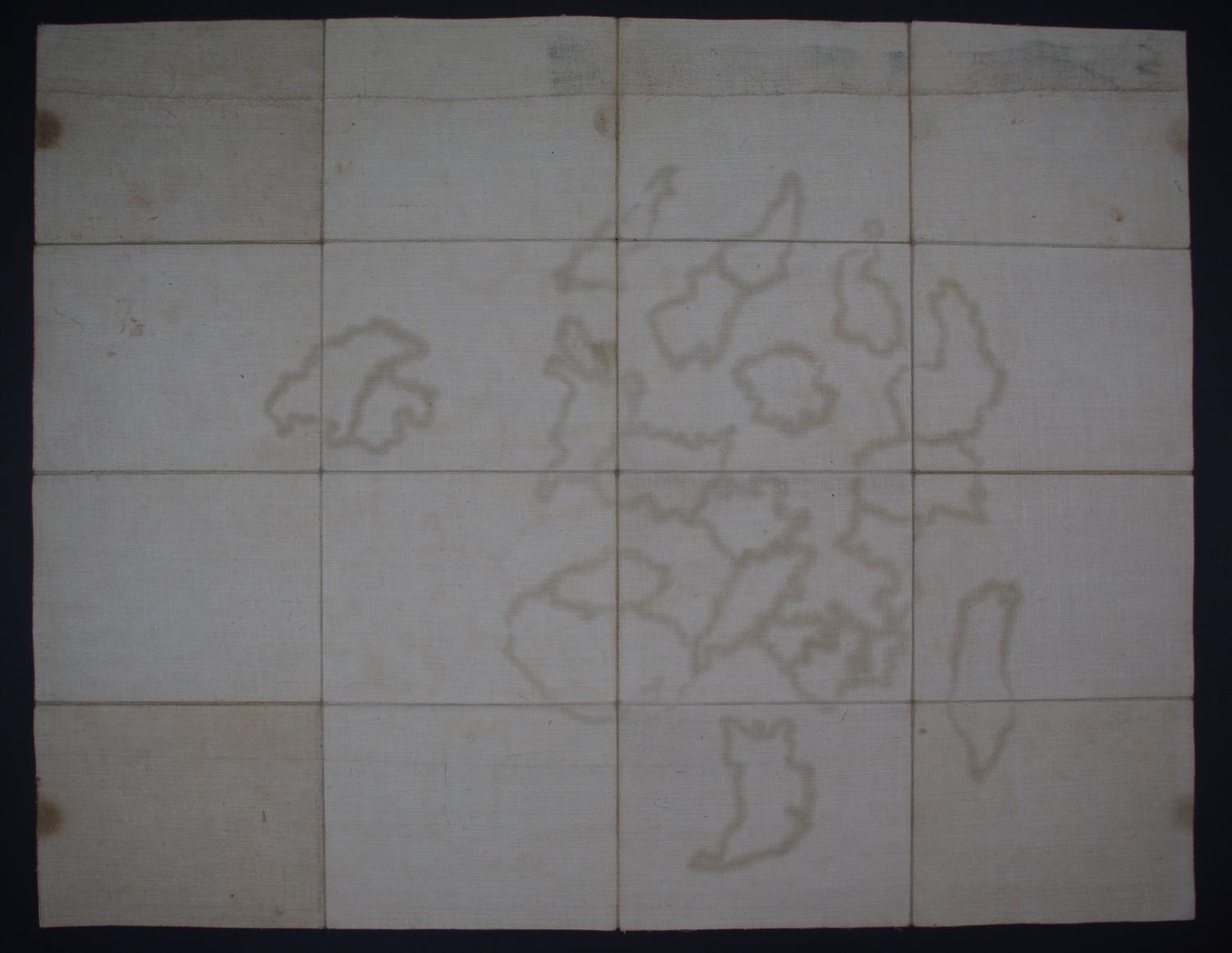
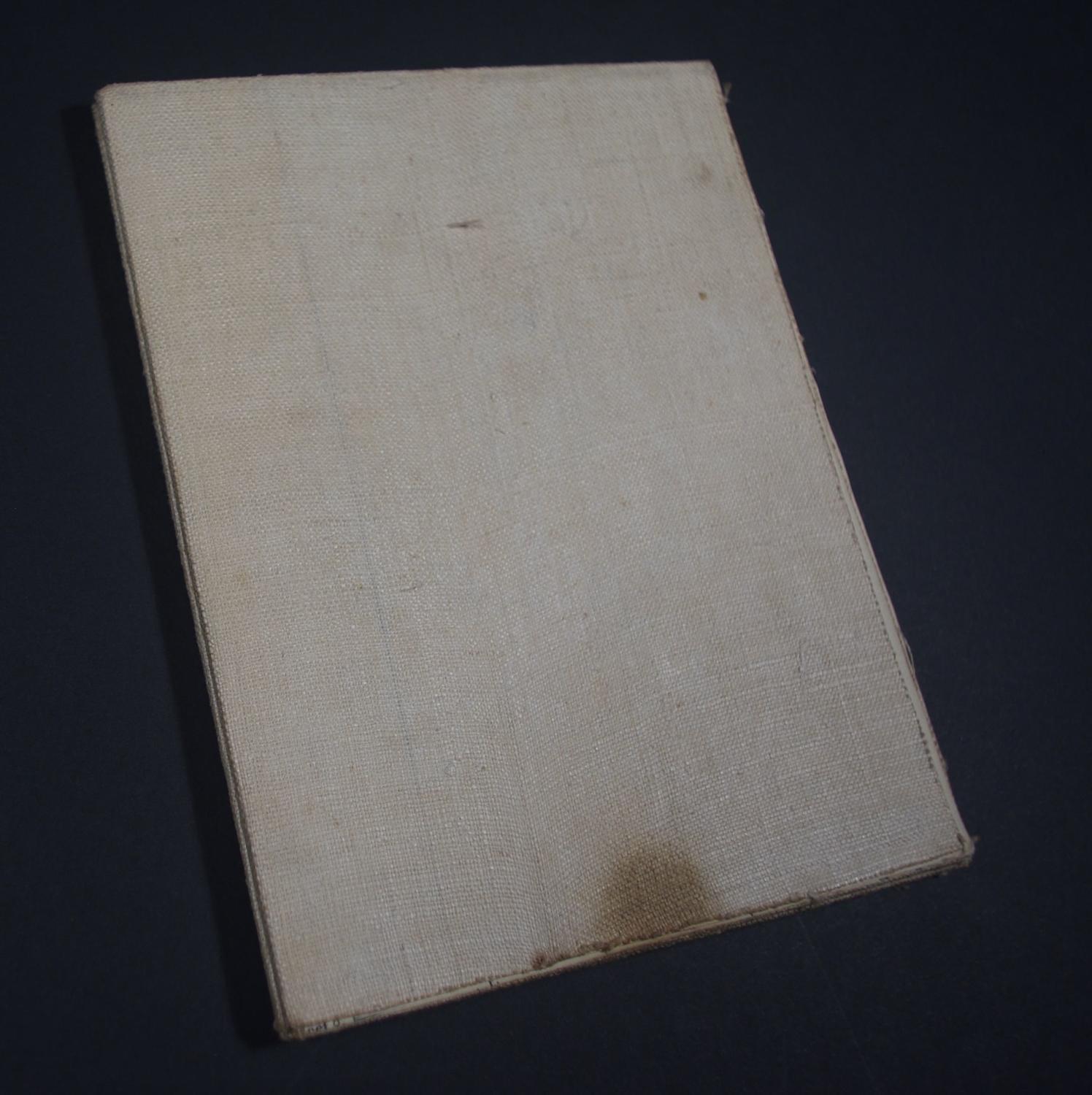
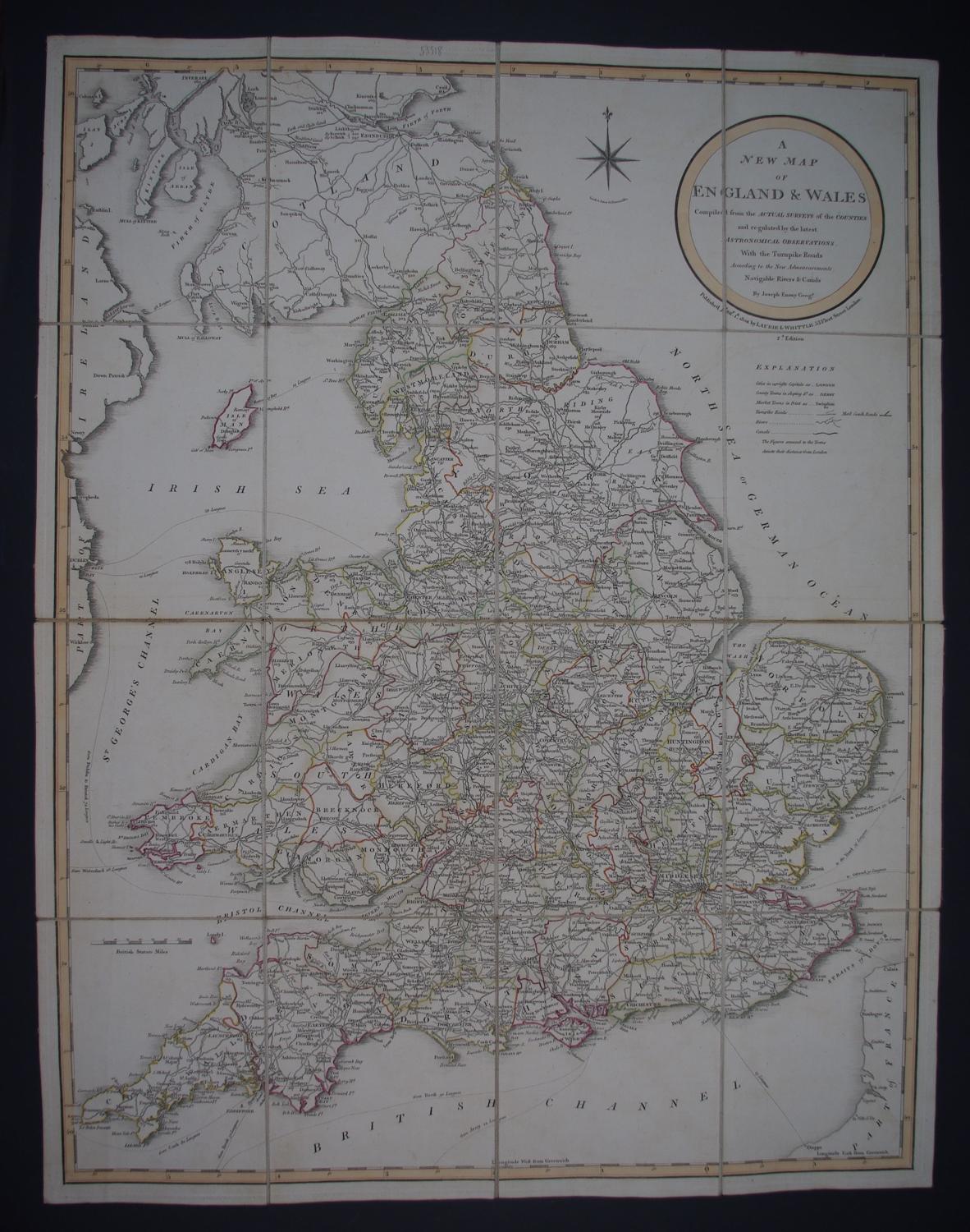
Code: 53318
Author: Richard Laurie
Date published: 1801
2nd edition. Folding map, dissected into sixteen, laid on linen and folded into 13cms x 17cms. Browning at top where finger marked but lacking its slipcase. Detailed map of England and Wales depicting towns, counties, turnpike roads, mail coach roads, rivers, and canals. A note below the Explanation key explains that the numbers adjacent to town names indicate their distance to London. The map is based on the work by Joseph Enouy and published by Richard Laurie. (Joseph Enouy who was apprenticed to William Faden fl 1787-1832. Cartographer and engraver Copper engraving with original outline hand colouring overall sheet size: 52.6cms x 87.4cms; 502mm x 648mm. Very faint browning to blank areas else very good condition.