Mostlymaps |
Tel: +44 (0)1497 820539 Email: info@mostlymaps.com Web site: https://www.mostlymaps.com/ |
|
Code: 53343
Author: (Ordnance Survey)
Publisher: Published at the Tower
Date published: 1834
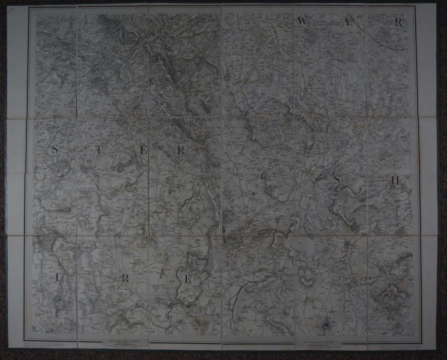
(Ordnance Survey) Lieut Colonel Colby of the Royal Engineers. Engraved by Benjamin Baker and Assistants. Scale of One Inch to a Statute Mile.Overall sheet size: 74.4cms x 99cms. Dissected and laid on linen. folds into buff cardboard covers front and back with finger marks top and bottom. Folds into dark green slipcase, frayed at sides and bottom with original label of C Smith and Son mapsellers, Strand London with hand written Stafford Shire in the blank space, with ? J Lane underneath. Good, original hand colouring of the parks, railways and some borders.Stretches from Birmingham, Wolverhampton in the south to Staffordshire and Ashbourn, Tissington top right of the map and Newcastle under Lyme and Stoke upon Trent top left. One ink blob to the right of Wishaw in the south of the map; and again either side of Cannock; brown mark at crease above Bilton and odd spot to bottom margin else very good condition.