Montgomeria Comitatus et Comitatus Mervinia by Willem Janzoon Blaeu
£125.00 Approx $155.47, €146.03
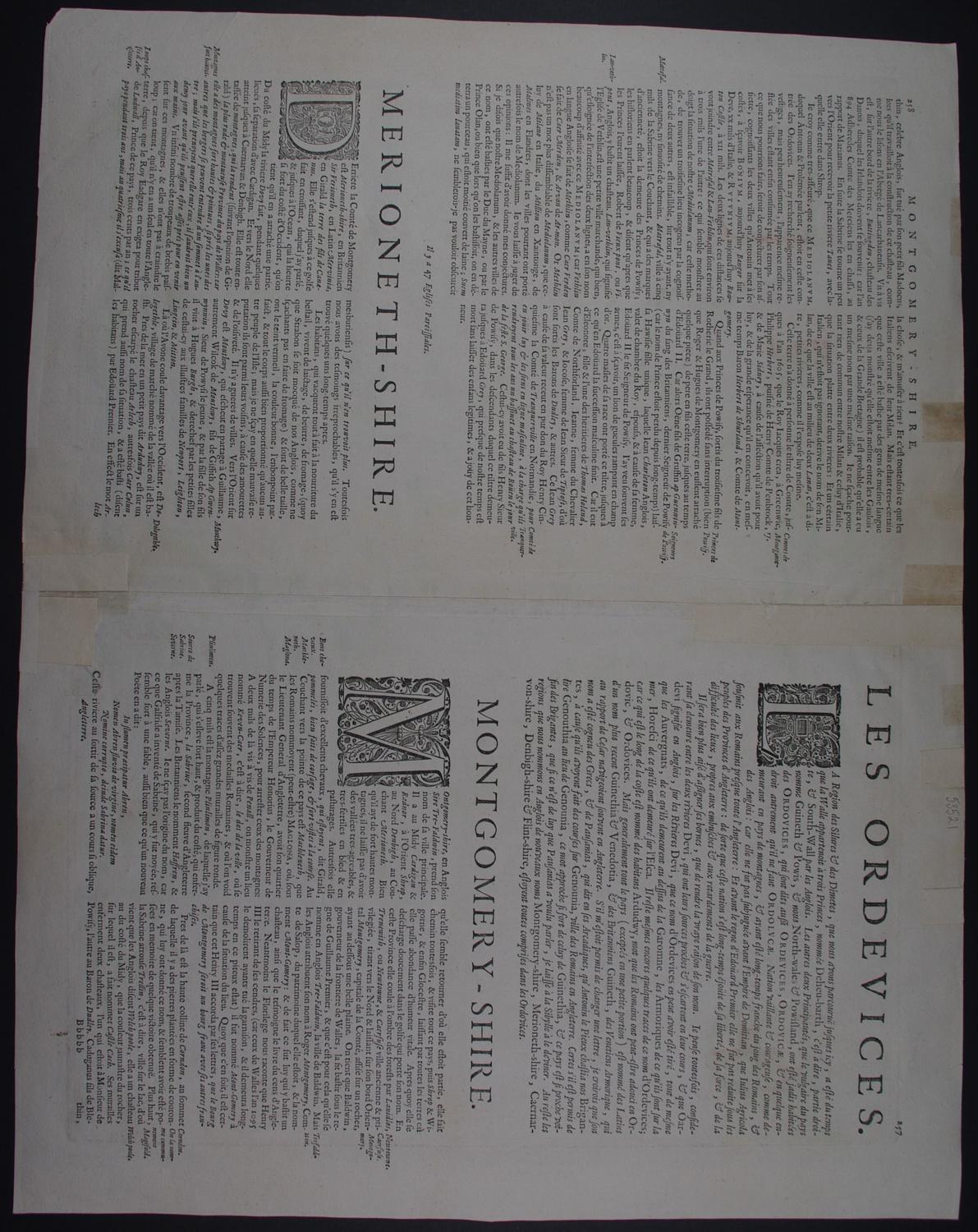
Code: 53521
Date :1645-6
Merionethshire and Montgomeryshire. Copper engraving, original hand colouring. Highly decorative title cartouche and scale of distance and three coats of arms. Overall size : 56.4cms.x 45.4cms. Image size : 495mm.x 377mm. French text to verso (pp 258/257). Centre fold as published. Centrefold strengthened 12.8cms top of centrefold on verso; one crack in top margin and three cracks repaired on verso in bottom margin two reaching into map but now virtually invisible from the front ; three remnants of old tape from framing else good condition.
"As with all productions of the firm of Blaeu, the engraving and layout are all of the highest standard." Rodney Shirley.
Johannes, Blaeu (1596-1673) was the son of Willem Janszoon Blaeu. Although originally trained as a lawyer, Johannes joined the family firm and, with his brother Cornelis took over his father’s business in 1638 . Joannes took on his father’s work as hydrographer to the Dutch East India Company. He produced many outstanding maps including Nova et Accuratissima Terrarum Orbis Tabula, a world map to commemorate the Peace of Westphalia which brought news of Abel Tasman’s voyages in the Pacific to the eyes of Europe.
Joannes also greatly enlarged his father’s Atlas Novus, first published in 1635. At the same time Johannes was working on his own atlas. He published the Atlas Maior between 1662 and 1672. It is one of the most prized atlases ever produced due to the attention to the detail, quality, and beauty of the maps. He also produced wall maps and some town plans. All this creativity and commerce ceased in 1672, when a fire completely destroyed his workshop and stock. Joannes Blaeu died a year later and is buried in the Westerkerk in Amsterdam.