Mostlymaps |
Tel: +44 (0)1497 820539 Email: info@mostlymaps.com Web site: https://www.mostlymaps.com/ |
|
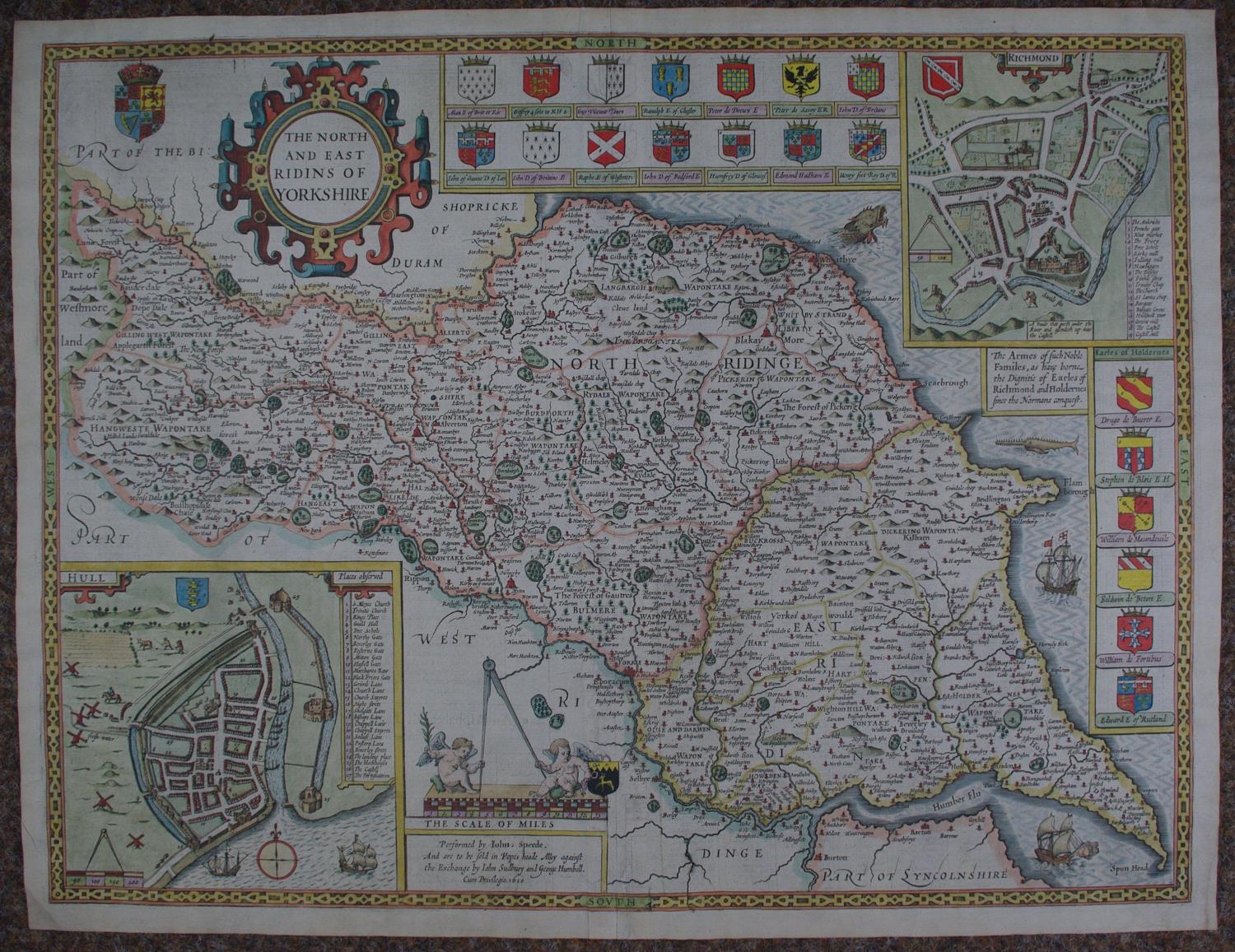
Code: 53649
Date: 1627
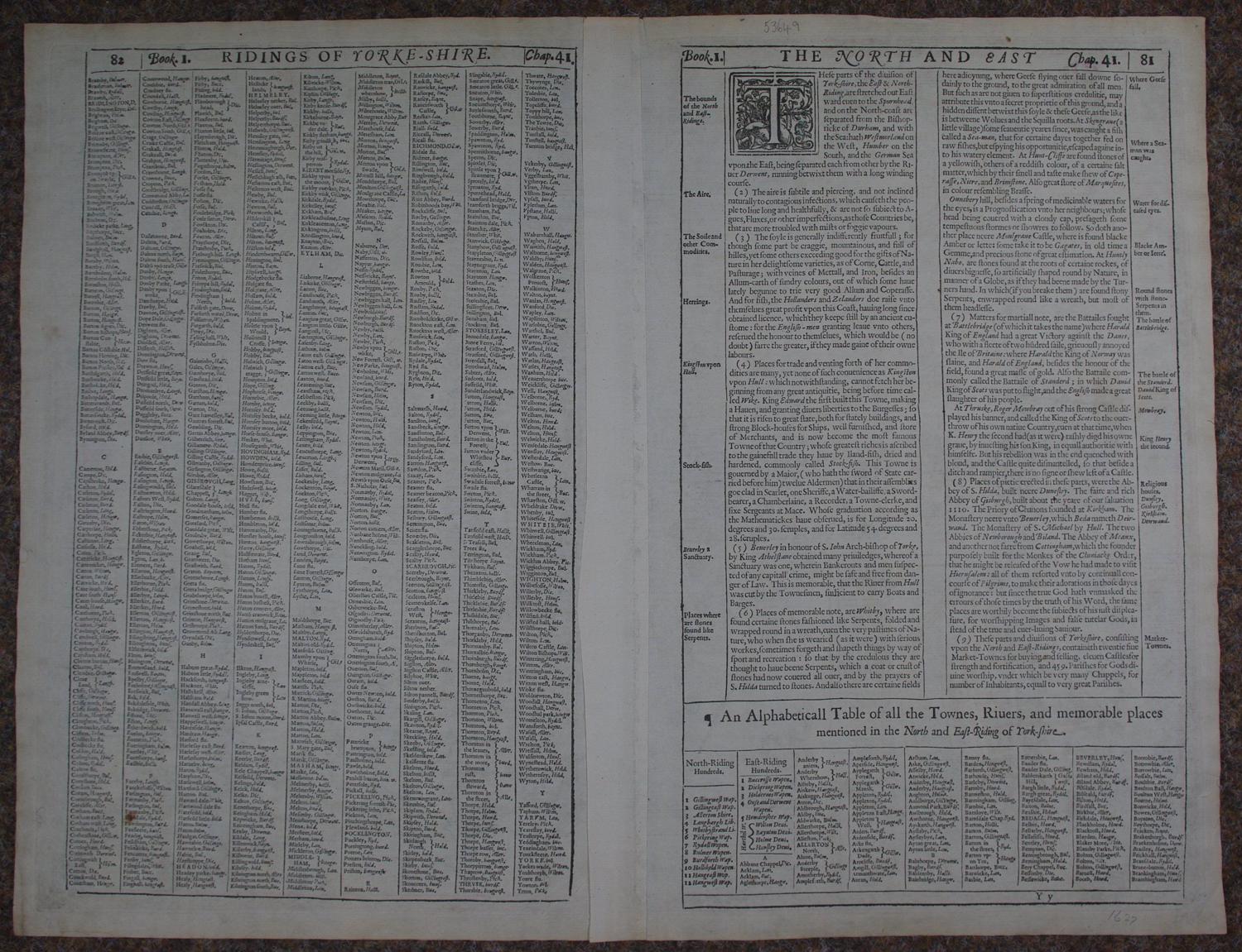
Published by John Sudbury and George Humbell. Copper engraving with later hand colouring. Overall size: 53.7cms.x 41.5cms. Image size : 515mm.x 391mm. English text on verso. Town plans of Hull and Richmond; twenty five armorials; huge razor beaked fish and two sailing ships in sea. Some faint browning at margin edges ,little creasing at bottom of centrefold but this is a glorious map and very decorative Speed in outstanding condition.
Until his late thirties, John Speed was a tailor by trade but his passion for history and map-making led him to gain a patron in Sir Fulke Greville, the poet and statesman, who found him a post in the customs and helped subsidize his map-making, giving him “full liberty to express the inclination of my mind”. He became aquainted with the publisher William Camden, whose descriptive text was used by Speed for most of the maps in his atlas “The Theatre of Empire of Great Britain” published most probably in 1612 although it bears the date 1611 on the main title page. The maps were engraved in Amsterdam by Jodocus Hondius, one of the foremost engravers of his time. Speed’s maps are unique historical documents of their time and the town plans featured on the maps are in most cases the first information we have of their early apppearance. Their artistry has guaranteed the collectability of these maps in the centuries that have followed.