Mostlymaps |
Tel: +44 (0)1497 820539 Email: info@mostlymaps.com Web site: https://www.mostlymaps.com/ |
|
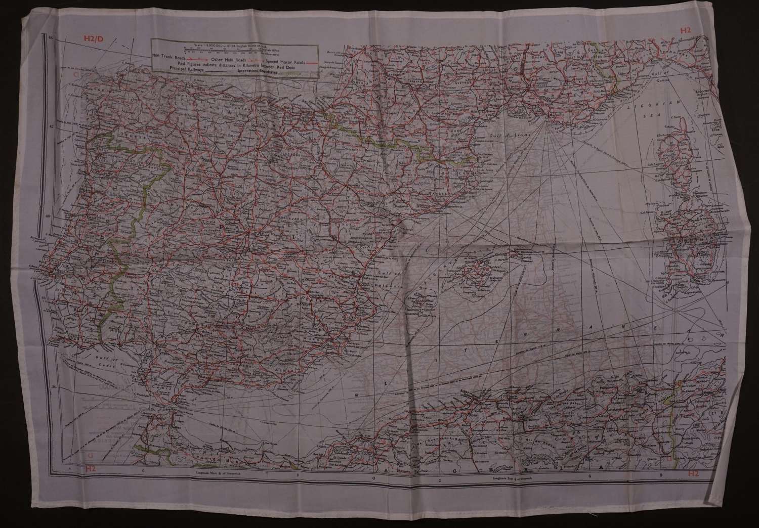
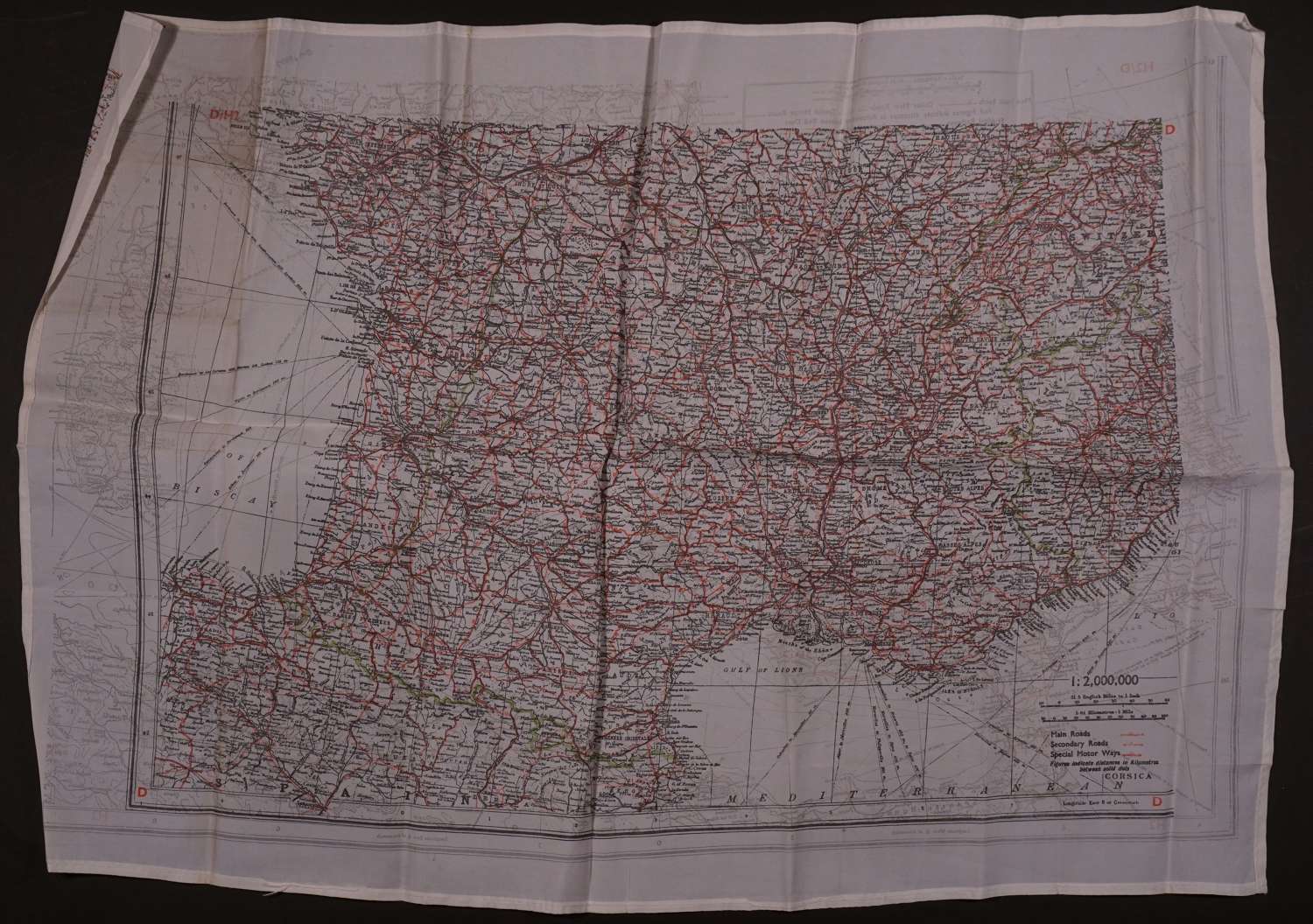
Code: 54056
Date: 1939-45
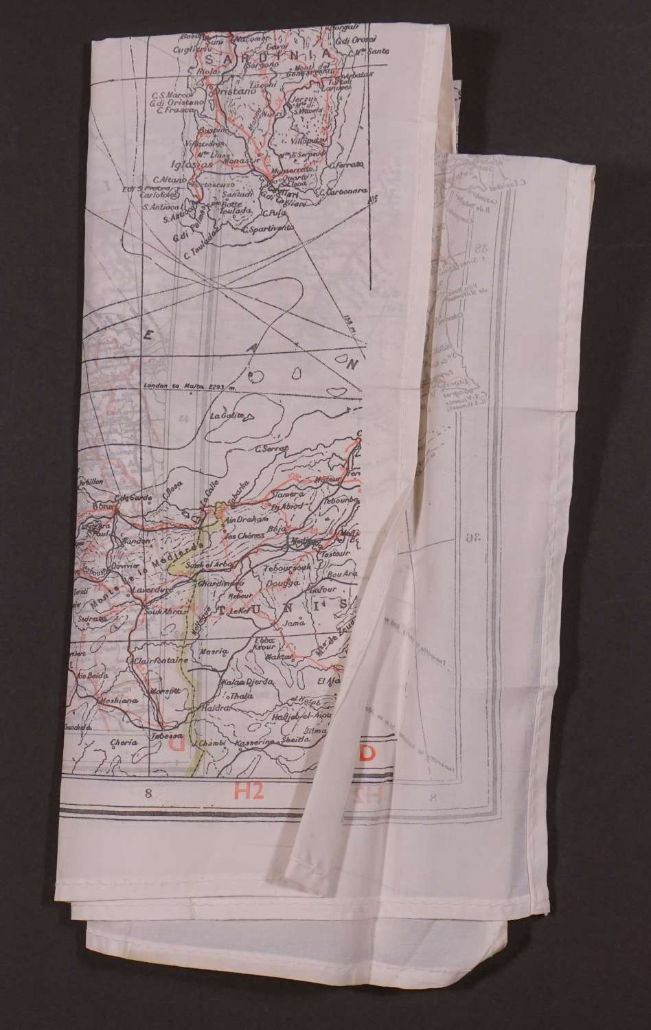
World War II escape maps issued to airmen. Original WW2 1939 -1945 silk escape and evasion map of France and Spain .Double sided, sealed edge. Code marked 'H2' and 'D'. White ‘silk ‘/rayon with black, green grey and red ink. Scale 1:2,000,000 (France) and 1: 30,000,000 (Spain and N Africa, Sardinia and Corsica) Overall sheet size: 59cms x 41.3cms; image size 525mm x 323mm. Made by Waddington PLC in the UK. Key to roads, boundaries, railways etc . Very good condition.
Double sided map printed on rayon specifically for evasion and escape purposes by MI9, a military intelligence section in the British War Office during World War II. Key showing symbols for Railways, Rivers, International Boundaries.