Mostlymaps |
Tel: +44 (0)1497 820539 Email: info@mostlymaps.com Web site: https://www.mostlymaps.com/ |
|
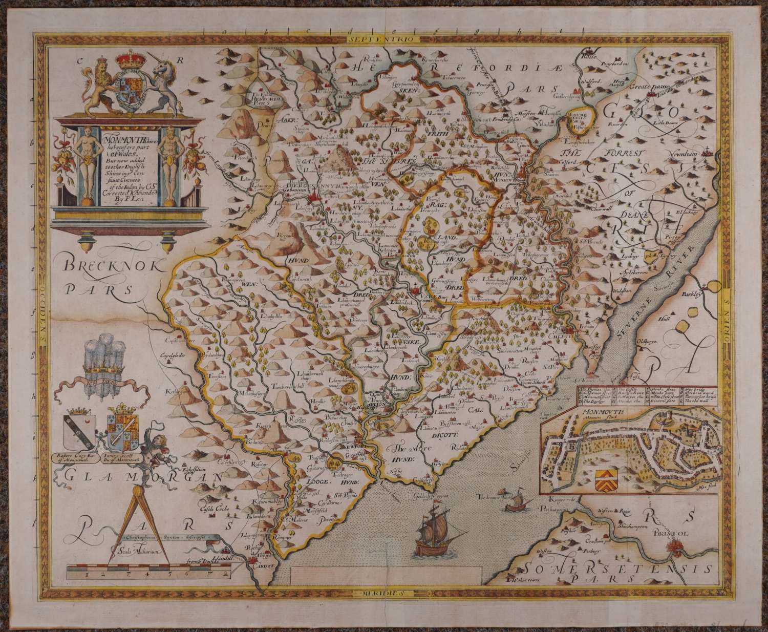
Code: 54223
Date: 1693
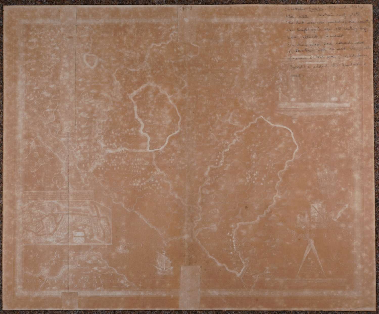
Long title:Monmouthshire heretofore part of Wales. But now added together English Shires in ye Constant circuite of Judges by CS corrected & Amended by P.Lea. Copper engraving with original hand colouring. Overall size: 51.9cms x 42.8cms. Images size: 482mm x394mm. Highly decorative cartouche surmounted with the royal lion and unicorn; below is the Prince of Wales feathers and motto (Ich Diene - meaning I serve); below that are two coats of arms of Robert Cary Earl of Monmouth and James Scott Duke of Monmouth, putti next to these stands on the large dividers which top the scale of distance and have the banner proclaiming that Chritophorus Saxton descripsit entwined around them. Two ships sail up the Seven river and above Bristol is a town plan of Monmouth with key above. A road to Cardyf passes through Newport up to Monmouth and from there disappears off west labelled from St Davids to London (after the Ogilby nomenclature). On verso top right is the pencilled description from an old mapseller:,’ Saxton’s early plate (the first map ever printed of the county ..’etc, would rub out and does not come through to the front.) The back is browned due to poor previous framing with backing material that is not acid free .
The map has an extra fold on the right side and that has two old strengthenings; 6 cms split at bottom of centrefold repaired on verso as is a short split at top of centrefold on verso. These repairs are not obtrusive and this is a rare map with stunning colouring in good condition.
Purchasing the original Saxton plate, Lea added town plans and roads based on the work of Speed and Ogilby. He also added town symbols, different coats of arms and changes to the title. Blank verso ; grid numbers are printed on two sides outside the neatline.