Mostlymaps |
Tel: +44 (0)1497 820539 Email: info@mostlymaps.com Web site: https://www.mostlymaps.com/ |
|
Code: 54383
Date: 1676
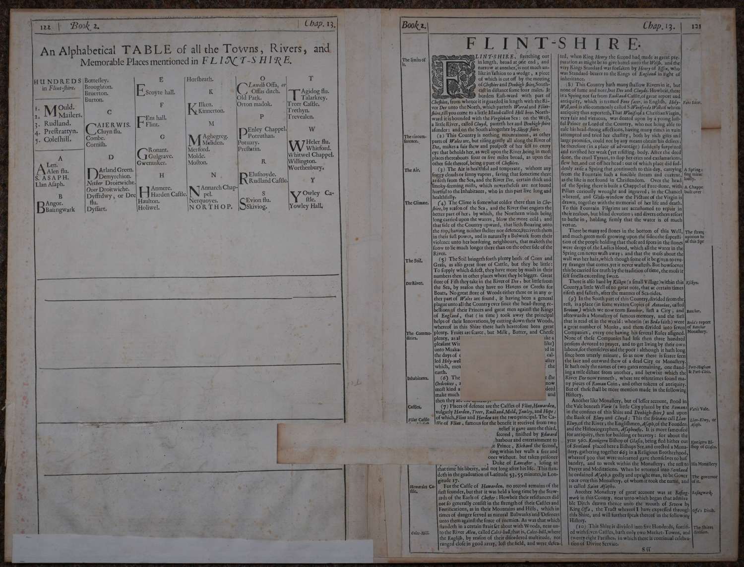
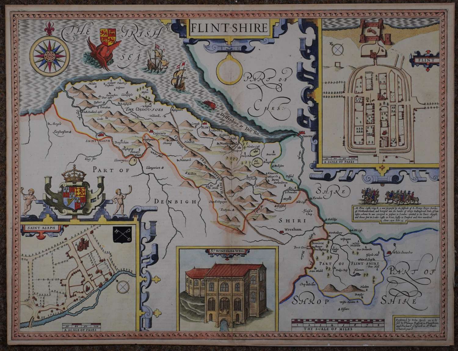
Waf. Copper engraving, later hand colouring. Overall size : 56.6cms.x 43.7cms. Decorative cartouche containing county name. Plans of Flint and Saint Asaph Scale of distance Illustration of St. Winifreds Well. English text on verso Huge monster surmounted with royal shield ; two battleships and a smaller monster in the Dee river. This map has had a hard life, The centrefold has either been stuck down or there is a re-inforcement the full length; a square of re inforcement on verso - can see no reason for it on the front, similarly puzzling is the long strip below, bottom margin edge re-inforced. Nonetheless, very respectable from the front and worth it for the magnificent monster in the Irish Sea approaching two sailing ships and a small monster entering the River Dee
Until his late thirties, John Speed was a tailor by trade but his passion for history and map-making led him to gain a patron in Sir Fulke Greville, the poet and statesman, who found him a post in the customs and helped subsidize his map-making, giving him “full liberty to express the inclination of my mind”. He became aquainted with the publisher William Camden, whose descriptive text was used by Speed for most of the maps in his atlas “The Theatre of Empire of Great Britain” published most probably in 1612 although it bears the date 1611 on the main title page. The maps were engraved in Amsterdam by Jodocus Hondius, one of the foremost engravers of his time. Speed’s maps are unique historical documents of their time and the town plans featured on the maps are in many cases the first information we have of their early apppearance. Their artistry has guaranteed the collectability of these maps in the centuries that have followed.