Mostlymaps |
Tel: +44 (0)1497 820539 Email: info@mostlymaps.com Web site: https://www.mostlymaps.com/ |
|
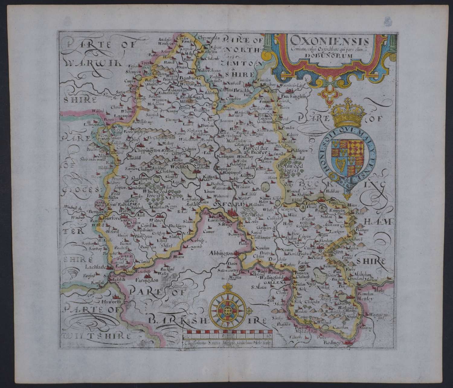
Code: 54614
Date: 1610
Long title: Oxoniensis Comitatus vulgo Oxfordshyre qui pars olim Dubunorum. Copper engraving with later hand colouring. Overall size : 41.4cms x 33.3cms.approx. Image size: 289mm x 271mm. Title in cartouche top right, scale of distance surmounted by compass bottom centre. Watermarked paper. Very good condition apart from two marks on verso see photographs.
These maps are the first county maps where each county is delineated on a separate sheet. They were prepared by William Kip and William Hole for William Camden’s famous work , Britannia and were based on the maps of Saxton and Norden. There were three editions: 1607, 1610 and 1637. See Skelton, County Atlases Of The British Isles 6.
